Petermann, A.
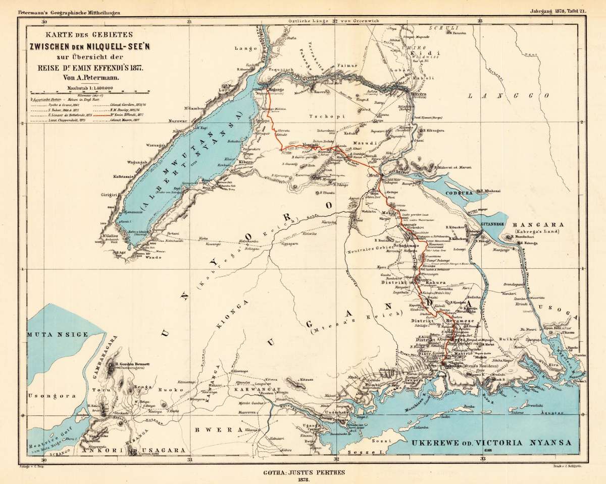
Karte des Gebietes zwischen den Nilquell-See'n zur Übersicht der Reise Dr. Emin Effendi's 1877. Von A....
€45.00
Prices incl. VAT plus shipping costs
This item is sold. Please contact us if you are searching for this item.
Eigenschaften
- Published: Justus Perthes. , Gotha
- Published date: 1878
- Type: Antique Map, map
- Technique: Lithograph / Original color.
- Issue date: 1878
- Category: Nilquell-See'n
- Size: 243 by 308mm (9½ by 12¼ inches).
- Stock number: 25530
- Condition: In excellent condition. The map was originally published folded, so that the old folds are still slightly visible. 243 by 308mm (9½ by 12¼ inches).
Article description
Article description
Lithograph, hand colored in outline when published.You might also be interested in the following products


 Pays des Negres.
 Copper engraving, hand colored in wash and outline, published in Allain Manesson Mallet's description of the world.
€45.00
Recently viewed products