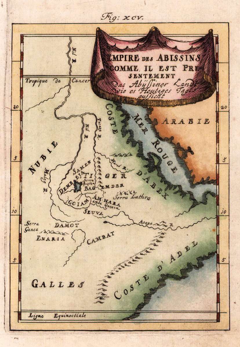
Mallet, Allain Manesson
Empire des Abissins comme il est presentement - das Abyssiner Landt wie es Heutiges Tages aussicht.
Prices incl. VAT plus shipping costs
This item is sold. Please contact us if you are searching for this item.
- Published: Frankfurt
- Published date: 1719
- Type: Antique Map, map
- Issue date: 1719
- Technique: Copper engraving /
- Category: Abyssinia
- Size: 150 by 110mm (6 by 4¼ inches).
- Stock number: 22238
- Condition: In excellent condition. 150 by 110mm (6 by 4¼ inches).
Article description
Copper engraving, hand colored in wash and outline, published in Allain Manesson Mallet's description of the world.
Alain Manesson Mallet (1630-1706) was a French cartographer and engineer. He started his career as a soldier in the army of Louis XIV, became a Sergeant-Major in the artillery and an Inspector of Fortifications. He also served under the King of Portugal, before returning to France, and his appointment to the court of Louis XIV. His military engineering and mathematical background led to his position teaching mathematics at court.His major publications were 'Description de L'Univers' (1683) in 5 volumes, and 'Les Travaux de Mars ou l'Art de la Guerre' (1684) in 3 volumes.
His 'Description de L'Universe' contains a wide variety of information, including star maps, maps of the ancient and modern world, and a synopsis of the customs, religion and government of the many nations included in his text. It has been suggested that his background as a teacher led to his being concerned with entertaining his readers. This concern manifests itself in the charming harbor scenes and rural landscapes that he included beneath his description of astronomical concepts and diagrams. Mallet himself drew most of the figures that were engraved for this book. (Wikipedia)
You might also be interested in the following products


 Keyserlyk...
  Die Stadt...