Meyer, Joseph
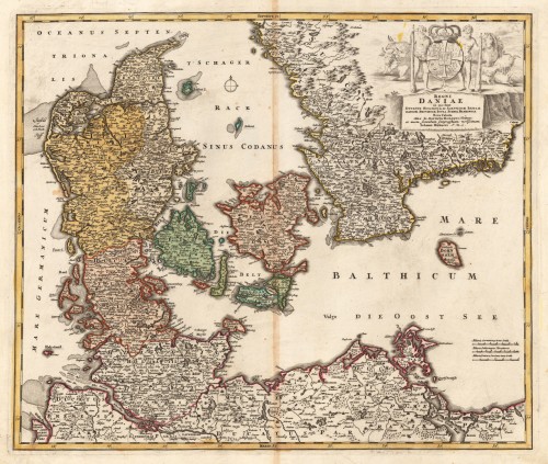
NEUESTE KARTE von DÄNEMARK mit HOLSTEIN und LAUENBURG, MECKLENBURG SCHWERIN STELITZ, OLDENBURG, die freien Städte...
€120.00
Prices incl. VAT plus shipping costs
This item is sold. Please contact us if you are searching for this item.
Eigenschaften
- Published: Meyers. , Hildburghausen
- Published date: 1850
- Type: Antique Map, map
- Technique: Steel engraving, original color
- Issue date: 1850.
- Category: Denmark & Holstein
- Size: 374 by 296mm (14¾ by 11¾ inches).
- Stock number: 18117
- Condition: In excellent condition. 374 by 296mm (14¾ by 11¾ inches).
Article description
Article description
A good example of this map published in Meyer's "Handatlas", contemporary colored in outline. Decorative map of Denmark, Lauenburg & Holstein published 1850 in Hildburghausen. Ornated in the upper right corner is a small inset map of Iceland, as well two inset maps with the surrounding of Christiania and Göteburg. In decorative fine hand-color in outline, showing the political borders of Denmark around 1853. Recently viewed products


