Antiquariat Reinhold Berg eK
Wahlenstraße 8
D-93047 Regensburg
phone: +49 - 941 52229
cellphone: +49 - 160 9060 6746
mail: rberg@bergbook.com

Schraembl, F.A.

Generalkarte der Königreiche Marokko, Fez, Algier und Tunis Nach den besten Karten und den neuesten Nachrichten...

Antique Generalkarte der Königreiche Marokko, Fez, Algier und Tunis Nach den besten Karten und den neuesten Nachrichten verfasst von Don Lopez Y Vargas & Geographen des Königs in Spanien und neu herausgegeben von Herrn F.A. Schraembl 1789
 
€195.00

Prices incl. VAT plus shipping costs

On stock,
Delivery time appr. 1-3 workdays

Eigenschaften
  • Vienna
  • 1789
  • 1789
  • Copper engraving
  • map
  • 505 by 114mm (20 by 4½ inches).
  • 37417
  • In excellent condition. With hand written notes.

Article description

Article description

Original copper engraving, uncolored. The map is from Schrambl's Allgemeiner Grosser Atlas, begun in 1786. The map image shows from Labrador in the north to West Florida in the south and from California in the west to Newfoundland in the east. In the upper left corner is an inset map of Baffin and Hudson Bay: "Specialkarte von der Baffin und Hudsons Bai." Shows boundaries, forts, roads, mines, and Indian villages and tribal territory. Franz Anton Schraembl (1751-1803) was a Vienna based cartographer working in the later part of the 18th century. Schraembl was partnered with Joseph von Reilly. His great work, the Allgemeiner Grosser Atlas was started in 1786. This ambitious atlas was to be based upon only the most up-to-date cartographic information available. Schraembl pulled his maps from the work of explorers such as Cook, Roberts, and others. The atlas was finally finished in 1800 but, possibly restricted by its high production cost, enjoyed only relatively minimal circulation. (Wikipedia)


You might also be interested in the following products

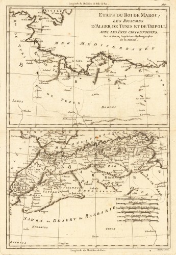
Antique Etats du Roi de Maroc; les Royaumes D' Alger, De Tunis et de Tripoli, avec les Pays Circonvoisins. Etats du Roi de...
Original antique copper engraving, uncolored as published. Two interesting maps of North Africa on 1 double page...
€80.00
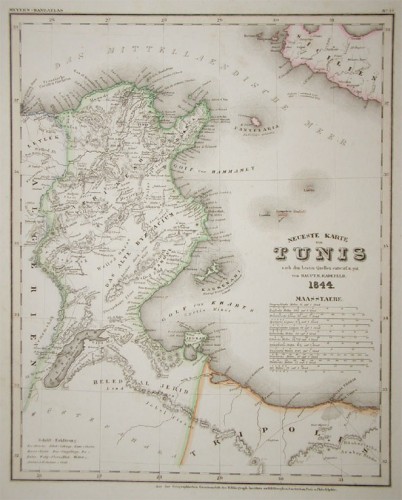
Antique Neueste Karte von Tunis nach den besten Quellen entworf. und gez. vom Hauptm. Radefeld. Neueste Karte von...
Steel engraving, in original colors, as published. A detailed map of Tunisia with many place names inland and along...
€80.00
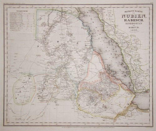
Antique Neueste Karte von Nubien, Habesch, Kordofan und Dafur. Neueste Karte von...
Steel engraving, in original colors, as published. A detailed map of Nubia and Habesch with the Red Sea.
€60.00
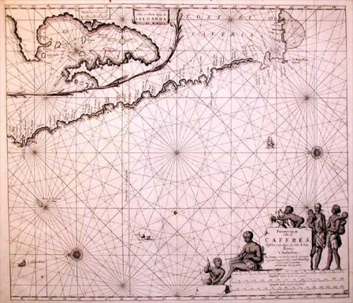
Antique Pascaert van de Costa de Caffres, Tusschen Cabo Negro en Cabo de Bona Esperanca. Pascaert van de...
Original antique copper engraving, uncolored as published. Johannes van Keulen (1654 in Deventer – 1715 in...
€850.00
Recently viewed products