Antiquariat Reinhold Berg eK
Wahlenstraße 8
D-93047 Regensburg
phone: +49 - 941 52229
cellphone: +49 - 160 9060 6746
mail: [email protected]

Radefeld, Hauptmann von

Neueste Karte der Küstenländer des Schwarzen Meeres. - Entworfen und gezeichnet vom Hauptm. Radefeld. 1850.

Antique Neueste Karte der Küstenländer des Schwarzen Meeres. - Entworfen und gezeichnet vom Hauptm. Radefeld. 1850.
€95.00

Prices incl. VAT plus shipping costs

On stock,
Delivery time appr. 1-3 workdays

Eigenschaften
  • Bibliograph. Institut , Hildburghausen
  • 1850
  • Antique Map, map
  • 1850
  • Steel engraving, hand colored.
  • Black Sea
  • 293 by 359mm (11 by 14 inches).
  • 18682
  • In excellent condition. 293 by 359mm (11 by 14 inches).

Article description

Article description

Steel engraving, hand colored in outline when published.

You might also be interested in the following products

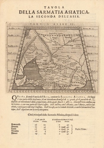
Antique Tabula Asiae II (Sarmatia Asiatica) Tabula Asiae II...
Fine copper-engraved map, printed into the full text page, published in Geografia ... Universale de la Terra , which...
€145.00
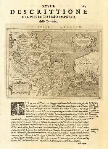
Antique Tartariae Imperium Tartariae Imperium
Fine copper-engraved map, printed into the full text page, published in 'Geografia ... Universale de la...
€509.00
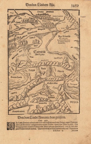
Antique Antique map Sarmatia Sebastian Munster Von den Ländern...
Woodcut published 1628 in the Cosmographia by Sebastian Münster. Early woodcut map published in the 1628 edition...
€95.00
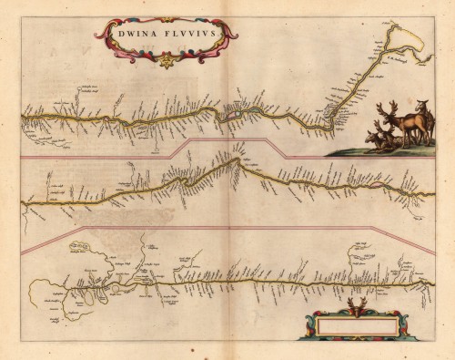
Antique Dwina Fluuius. Dwina Fluuius.
Original antique copper engraving, hand colored in outline and wash when published. The map is divided into three...
€300.00
Recently viewed products