

Lotter, Matthias Albert
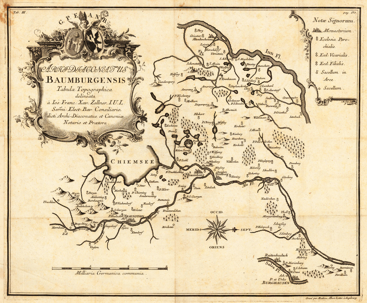
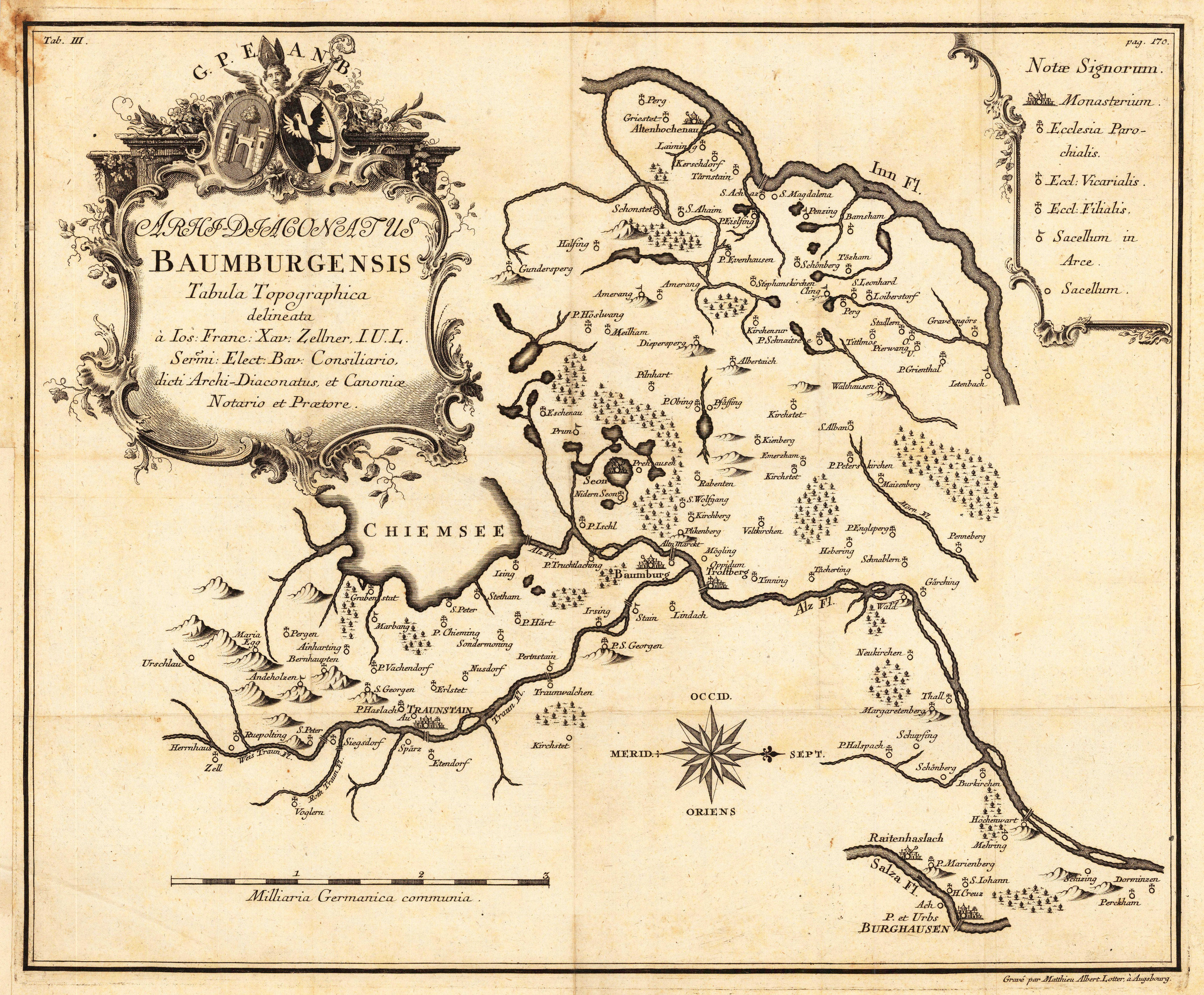
Archidiaconatus Baumburgensis Tabula Topographica delineata à Ios: Franc: Xav. Zellner, I.U.L. Sermi: Elect: Bav:...


€125.00
Prices incl. VAT plus shipping costs
This item is sold. Please contact us if you are searching for this item.
Eigenschaften
- Published: Augsburg
- Published date: 1780
- Technique: Copper engraving / Uncolored
- Issue date: 1780
- Type: map
- Category: Chiemsee
- Size: 375 by 456mm (14¾ by 18 inches).
- Stock number: 28138
- Condition: In excellent conditon.
Article description
Article description
Copper engraving, uncolored as published. Published in ,Mohomenta Bohica'. West-oriented map of the area around the towns of Traunstein, Trostberg and towards to the river Inn. With a large emblem cartouche.You might also be interested in the following products
 Mindelheim.
 Hand-Colored Original Copperplate Engraving by Johann Baptist Homann, depicting Mindelheim.. Published Nürnberg,...
€475.00
 Augspurg mit...
 Hand-Colored Original Copperplate Engraving by Christoph Weigel, depicting Augspurg mit umliegender Gegend und dabey...
€195.00
 Circulus...
 Hand-Colored Original Copperplate Engraving by Christoph Weigel, depicting Circulus Franconicus ad Occidentem vergens...
€195.00
 Oberbayern
 Hand-Colored Original Copperplate Engraving by Johann Baptist Homann, depicting Oberbayern. Published Nürnberg,...
€295.00
Recently viewed products