Stieler, Adolph
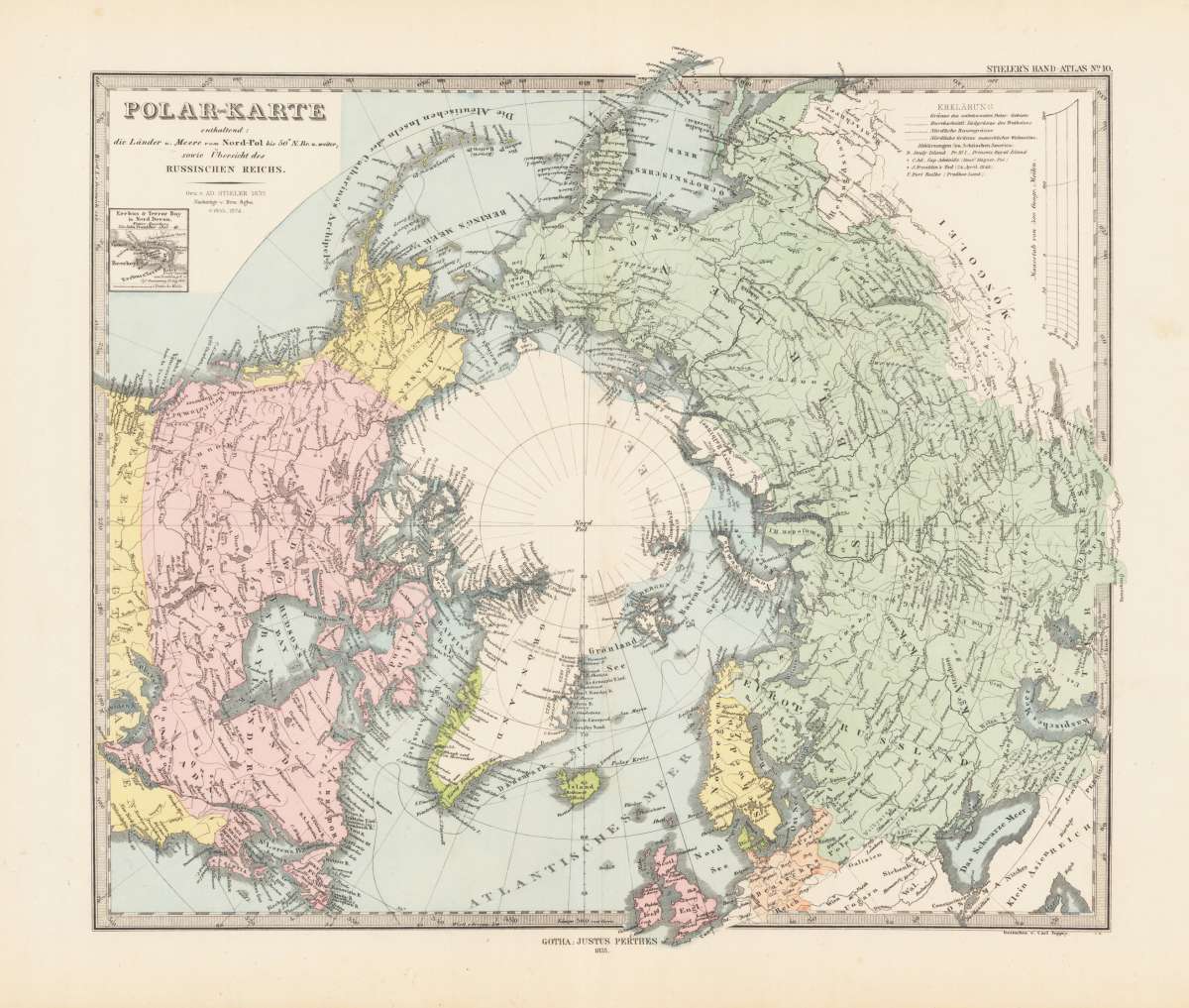
Polar-Karte enthaltend: die Länder u. Meere vom Nord-Pol bis 50° N. Br. und weiter; sowie Übersicht des Russischen...
€80.00
Prices incl. VAT plus shipping costs
This item is sold. Please contact us if you are searching for this item.
Eigenschaften
- Published: Gotha
- Published date: 1855
- Type: Antique Map
- Technique: Lithograph / Original color
- Category: world map in two hemispheres
- Issue date: 1855-74
- Size: 32 x 38,5 cm (12.5 x 15,25 inches).
- Stock number: 36056
- Condition: In excellent condition.
Article description
Article description
Original Lithograph, hand colored in outline. This antique map shows the North pol in the middle, North America at the left and Russia with Scandinavia at the right side. The mileage scale and a explanation at the upper right.
You might also be interested in the following products
 Die Erde in zwey...
 Original antique copper engraving, hand colored in outline and wash, when published. A decorative world map by...
€350.00
 Mappe-Monde...
 Copper engraving, handcolored in outline, when published. Fine and decorative world map in two hemispheres by Robert...
€2,150.00
 Hemisphere...
 Copper-engraving, uncoloured as published. Fine example of a strong impression of this large map showing the...
€1,050.00
 Mappe-Monde ou...
 Copper-engraving, hand colored in outline when published. Decorative early 19th century world map showing the world...
€260.00
Recently viewed products