The following products have been found matching your search "ancient maps": 191
Or did you mean: maps | map | world map | world maps | MAPS OF THE WORLD | map asia | wall map | map of london
No results were found for the filter!
 Die Insel Albion. - Isle d´Albion.
 Copper engraving, uncolored. Published in Allain M. Mallet's description of the world. This beautiful antique...
€48.00
 Mappa Geographica totius Insulae et Regni Siciliae cur graphio et impensis Matth. Seutteri, S.C.M.G. August.
 Original copper engraving hand colored in outline and wash when published. This beautiful old colored map depicts...
€475.00
 Beschreibung der herzlichen und weitberhümpten Statt Mirandula.
 Decorative woodcut map, published in a German text edition of the ,Cosmographia' by Sebastian Münster 1578. A fine...
€125.00
 Nullus in orbe locus Baiis praelucet amoenis
 Original antique copper engraving, uncolored. Fascinating view depicting Pozzuoli and the Gulf of Baia, with Ischia...
€295.00
 Sardinien
 Original antique copper engraving, uncolored. Gerardus Mercator (5 March 1512 – 2 December 1594) was a Flemish...
€245.00
 REGIAE CELSITUDINIS SABAUDICAE STATUS IN QUO DUCATUS SABAUDIAE, PRINCIPATUS PEDEMONTIUM...
 Original antique copper engraving, handcolored in outline and wash when published. Old coloured copper engraved map...
€245.00
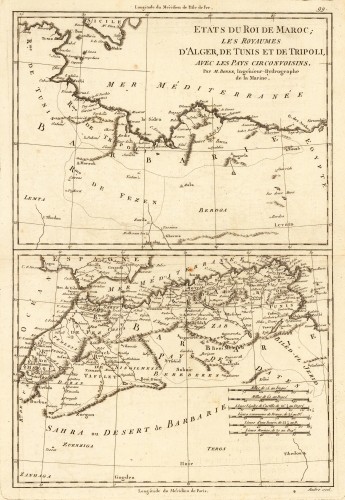
 Etats du Roi de Maroc; les Royaumes D' Alger, De Tunis et de Tripoli, avec les Pays Circonvoisins.
 Original antique copper engraving, uncolored as published. Two interesting maps of North Africa on 1 double page...
€80.00
 Carte d'Allemagne comprenant la Confederation Germanique, l'Empire d'Autriche, le Royaume de Prusse et...
 Original antique copper engraving, hand colored in outline when published. Antique map titled 'Carte de la...
€60.00
 Der Mittägige theil dess alten Teutschlandts oder das Warhaffte Teutschland - Partie Meridionale del Ancienne...
 Copper engraving published in Allain M. Mallet's description of the world 'Description De L' Univers,...
€40.00
 Partie Meridionale du Piemont et du Monferrat, par Guillaume del'Isle del'Academie Royale des Sciences.
 Copper engraving, hand colored in outline and wash.
€950.00
 Iconografica Rappresentatione della Inclita Citta di Venetia Con tuti i Canali, Ry, Chaese, Ponti, Isolette,Division...
 Original copper engraving, hand colored in outline and wash when published. A magnificent, large-scale bird's...
€1,750.00

