The following products have been found matching your search "arte": 402
Or did you mean: art | karte | parte | carte | Europe karte | europa karte | art history | Bellin Carte
No results were found for the filter!
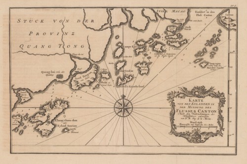
 Karte von den Eylanden in der Mundung des Flusses Canton - Nach den Wahrnehmungen der Schiffahrer entworfen. von N....
 Copper engraving, uncolored as published.
€180.00
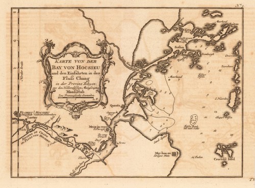
 Karte von der Bay von Hocsieu und den Einfahrten in den Fluß Chang in der Provinz Fokyen; aus den hollaendischen...
 Copper engraving, uncolored as published.
€150.00
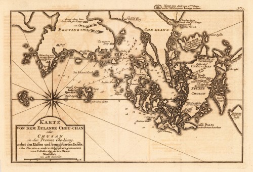
 Karte von dem Eylande Cheu-Chan oder Chusan in der Provinz Che-kiang, nebst den Kusten und benachbarten Inseln. - aus...
 Copper engraving, uncolored as published.
€150.00
 Neueste Karte von Holland, Belgien und Luxemburg.
 Steel engraving, handcolored in outline, when published. Small and decorative map of the Low Countries, showing many...
€80.00
 Neueste Karte von Arkansas mit seinen Canaelen Strassen & Entfernungen der Hauptpunkte. Nach den bessten Quellen...
 Steel engraving, hand colored in outline and wash when published. This antique map shows Arkansas with his canals,...
€173.00
 General Karte Des Osmanischen Reichs.
 Steel engraving, hand colored in outline, when published. Decorative and interesting map showing the Osman Imperium,...
€75.00
 Le Provincie di Bulgaria, e Rumelia Tratte dalla carte dell' Impero Ottomano del Sig Rizzi Zanoni.
 Copper engraving, in contemporary original color in outline. Published in Zatta's 'Atlante Novissimo'....
€195.00
 Le Provincie di Zelanda, Utrecht, Gheldria, e Brabante Ollandese con la parte meridionale dell' Ollanda di nuova...
 Copper engraving, in contemporary original color in outline. Published in Zatta's "Atlante Novissimo"....
€125.00
 Nova et Accurata Descriptio Ducatus Bremae et Ferdae cum maxima parte finitimi Ducatus Stormariensis et Comitatus...
 Copper-engraving, handcolored in wash and outline, when published. In the lower right corner ornated with a large...
€340.00
 Carte D' Artois et des Environs Vel Mappa Specalis Comitatus Artesiae in qua simul Terrae Iurisdictionales ...de...
 Original antique copper engraving, hand colored and wash when published. Ornated in the upper right corner with a...
€145.00
 Neueste Karte von England nach den besten Quellen entworfen u. gezeichnet vom Hauptm. Radefeld. 1844
 Steelengraving, handcolored in outline when published. The detailled map of the British Isles is providing a lot of...
€80.00
 Neueste Karte von Grossbritannien und Ireland Nach den besten Quellen entworf. u. gezeichn. von Major Radefeld. 1850.
 Steelengraving, handcolored in outline when published. Detailled map of Great Britain and Ireland with many...
€80.00

