The following products have been found matching your search "channel": 19
No results were found for the filter!
 Scotland entworfen und gezeichnet von C. F. Weiland. Weimar, Im Verlage des Geograph: Instituts. 1821
 Copper engraving, hand colored in outline when published. A detailed and interesting map by the German mapmaker Carl...
€280.00
 Grosbritanien und Irland entworfen von C. F. Weiland. Weimar im Verlage des Geograph. Instituts 1822.
 Copper engraving, hand colored in outline when published. A detailed and interesting map by the German mapmaker Carl...
€295.00
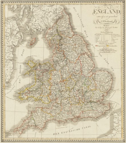
 England entworfen und gezeichnet von C. F. Weiland. Weimar, im Verlage des Geograph. Instituts 1822.
 Copper engraving, hand colored in outline when published. An old map of England depicted by the German mapmaker Carl...
€220.00
 Der westliche Theil von Mittel-Asien oder Turan mit einem Theil der angaenzenden Laender. Entworfen und gezeichnet...
 Original antique copper engraving, hand colored in outline when published. A detailed and interesting map by the...
€145.00
 Tabula Ducatus Britanniae Gallis le Gouvernemt. General de Bretagne insuos Novem Episcopatuss omnes Turonensi Aurel....
 Original antique copper engraving, hand colored in outline and wash when published. Shows Brittany with the offshore...
€175.00
 Plan of Dieppe with the New Fortifications and Projected Works.
 Original antique copper engraving, uncolored. Original antique map of Dieppe, France, published in,The Geographical...
€65.00
 Plan of the City and Castles of St. Malo.
 Original antique copper engraving, uncolored. Original antique map of St. Malo in Brittany in North-Western France,...
€90.00

