The following products have been found matching your search "folded map": 167
Or did you mean: maps | map | world map | world maps | MAPS OF THE WORLD | map asia | wall map | Latin map
No results were found for the filter!
 Mittel-Deutschland's Orthodrome Erhebungs-Systeme von Hauptmann Friedrich Weiss.
 Lithograph, original color in outline and wash.
€25.00
 Die Vertheilung des Regens über Deutschland nach den Jahreszeiten. Von Dr. J. van Bebber.
 Lithograph, original color in outline and wash.
€55.00
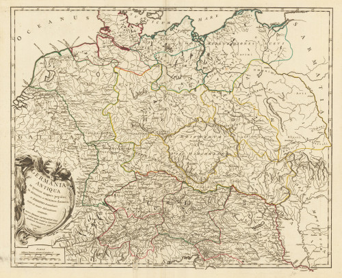
 Germania Antiqua
 Original antike Kupferstichkarte in Grenz- und Flächenkolorit. Das Kartenbild reicht von der Nord- und Ostsee bis...
€150.00
 Germania Antiqua Drawn & Engraved for Dr. Playfairs Atlas
 Original antike Kupferstichkarte in Grenzkolorit. Das Kartenbild reicht von der Nord- und Ostsee bis hin zum...
€70.00
 Germania Antiqua in quatuor magnos populos, in minores et minimos distincta; et Regiones Danubium inter et mare...
 Copper engraving, hand colored in outline.
€145.00
 Fluss- u. Berg-Karte von Deutschland und den anliegenden Ländern entw. u. gez. Ad. Stieler (1820) Neu gestochen und...
 Stahlstich, koloriert (nur die Seen) erschienen. Dargestellt wird ganz Deutschland und Teile seiner Nachbarländer....
€90.00
 Germania Antiqua in quatuor magnos populos, in minores et minimos distincta; et Regiones Danubium inter et mare...
 Copper engraving, hand colored in outline.
€145.00
 Deutschland und der gröste Theil der umliegenden Staaten oder Mitteleuropa in 35 Blättern
 Original Kupferstich, gedruckt auf Seide. Gestochen von C. Jüttnig und H. Kliener nach H. H. Gotthold um 1830.
€700.00
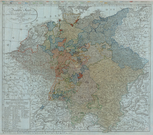
 Das Deutsche Reich nach neuesten Friedensschlüssen entworfen und nach den Besitzungen der Kur und Fürstlichen Häuser...
 Original antique copper engraving, handcolored in outline and wash when published.
€225.00
 Carte generale de L'Empire d'Allemagne et pays circonvoisins…
 Original antiker Kupferstich in zeitgenössischem Grenzkolorit. Früher Abdruck dieser schönen Karte von Deutschland,...
€275.00


