The following products have been found matching your search "folded map": 168
Or did you mean: maps | map | world map | world maps | MAPS OF THE WORLD | map asia | wall map | map of london
No results were found for the filter!
![Special-Karte der Antique Special-Karte der Vereinigten Staaten von Nordamerika. [folded maps in cardboard cover]](https://bergbook.com/media/image/e1/b3/4c/20600_500x500.jpg) Special-Karte der Vereinigten Staaten von Nordamerika. [folded maps in cardboard cover]
Special-Karte der Vereinigten Staaten von Nordamerika. [folded maps in cardboard cover] Lithograph, handcolored in wash and outline. This is the rare German edition, printed in lithograph, of Calvin...
€4,200.00
 New Map of the City of Philadelphia.
 Original hand colored lithograph, folded and published as pocket map of the city of Philadelphia. A large and...
€950.00
![General Karte von einem Antique General Karte von einem Theil des Russischen Reichs in Gouvernement s und Kreise eingetheilet, worauf die Post- und andere Hauptstrassen angezeigt sind bey Sr. Russisch Kayserlichen Majestaet Karten Depot im Jahre 1799 entworffen und gestochen. [folded map on linen] Aus dem russischen übersetzt, die Gouvernements Grentzen nach den Kayserlichen Ukasen vom October 1801 u: Mertz 1802 u: abgeändert, die Schiffbarkeit der Flüsse und ihre Vereinigungs Canäle zwischen den Weissen, Baltischen, Schwartze](https://bergbook.com/media/image/8a/ec/db/23098_500x500.jpg) General Karte von einem Theil des Russischen Reichs in Gouvernement s und Kreise eingetheilet, worauf die Post- und...
General Karte von einem Theil des Russischen Reichs in Gouvernement s und Kreise eingetheilet, worauf die Post- und... Copper engraving, hand colored in outline when published. Large folding map dissected on linen in four sheets, to...
€550.00
 Ordnance Survey map of Roman Britain. Third edition.
 Colour printed (lithograph?) map, mounted on gray, probably publisher's linen. Printed and Published by the Director...
€945.00
 Nouveau Plan Illustré de la ville de Paris ave le systéme complet de ses Fortifications et forts Détachés A Paris...
 Copper engraving, hand colored when published. Fine engraved pictorial city plan of Paris, depicting the...
€375.00
 North America Index Map to Canada and the United States
 Original antique steel engraving, hand colored in outline when published. This North America map shows the East...
€65.00
 Particulier Carte Der Gegend von Wismar nebst der Insul Poel und angedeuteter Bloquade zu Wasser und Lande 1715
 Original antique copper engraving, hand colored in outline and wash when published. Detaillierte Karte der Umgebung...
€950.00
 Regnorum Siciliae et Sardiniae nec non Melitae sen Maltae, Insula cum adjectis Italiae et Africae Litoribus Nova...
 Original antique copper engraving in contemporary hand color in wash and outline when published. A very decorative...
€850.00
 Dominii Veneti cum vicinis Parmae Mutinae Mantuae et Mirandol - Statibus Nova Deseriptio, edita a Ioh. Baptista....
 Original antique copper engraving in contemporary hand color in wash and outline when published. A fine impression...
€550.00
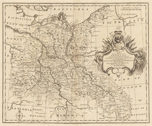
 A Correct Map of the North East Part of Germany containing the Electorates...
 Original Kupferstich, unkoloriert erschienen. Dargestellt wird der nordöstliche Teil Deutschlands mit Teilen von...
€145.00
 Carte De L' Isle De La Martinique dressée par Mr. Bellin, Ingenieur du Roy de France et de la Marine communiquée au...
 Original antique copper engraving, hand colored in outline and wash when published. In the lower left corner ornated...
€375.01
 Die Englischen Colonie-Laender Auf den Inseln von America und zwar die Insuln S. Christophori Antegoa Iamaica...
 Original antique copper engraving in full contemporary hand color in wash and outline when published. Large detailed...
€545.00

