The following products have been found matching your search "max": 43
No results were found for the filter!
 Comitatus Principalis Tirolis in quo episc. Tridentin 9 et Brixensis, Comitatus Brigantinus, Feldkirchiae Sonnebergae...
 Original antique copper engraving in full contemporary hand color in wash and outline when published. Large...
€425.00
 Tertia Pars Brabantiae qua continetur Marchionat. S.R.I. horum urbs primaria Antverpia - Ex Archetypo Michaelis...
 Original antique copper engraving, hand colored in outline published in Joan Blaeu's 'Atlas Novus'....
€525.00
 XVII. Provinciae Belgii sive Germaniae, Inferioris priscis temporib, Circulo Burgundico S.R.I. annumeratae quarum X....
 Copper-engraving, hand colored in outline and wash when published. This decorative map shows the entire Belgium with...
€180.00
 A Map of y Island of Bermudos. Divided into its Tribes, wth the Castles, Forts, &c. By H.M.
 Copper engraving, uncolored as published. The Geographer Hermann Moll worked came originally from the Netherlands...
€445.00
 A New and Accurate Map of the Netherlands from the Sieur Roberts Atlas with Improvements.
 Original antique copper engraving, uncolored. Engraved by J. Gibson Original antique map showing the north-western...
€45.00
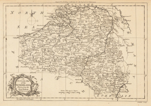
 An Accurate Map of the Netherlands Drawn from the Sieur Robert, with Improvements.
 Original antique copper engraving, uncolored. Original antique map of the Netherlands, published in,the Geographical...
€85.00
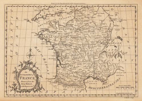
 An Accurate Map of France Drawn from the Sieur Robert, with Improvemts.
 Original antique copper engraving, uncolored. Published in London and engraved for the 'New Geographical...
€80.00

