The following products have been found matching your search "robes": 43
Or did you mean: Robert | roses | roberts | routes | rogers | Robert de Vaugondy | David Roberts | Nikolas Robert
No results were found for the filter!
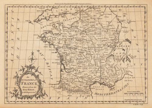
 An Accurate Map of France Drawn from the Sieur Robert, with Improvemts.
 Original antique copper engraving, uncolored. Published in London and engraved for the 'New Geographical...
€80.00
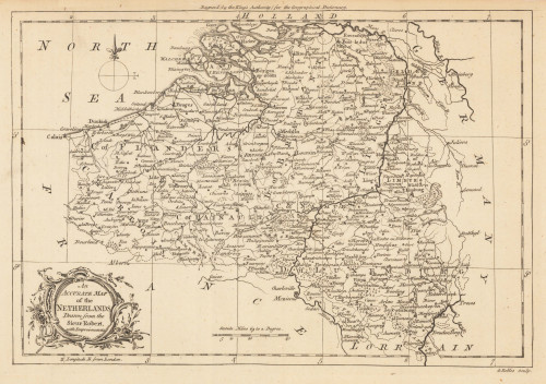
 An Accurate Map of the Netherlands Drawn from the Sieur Robert, with Improvements.
 Original antique copper engraving, uncolored. Original antique map of the Netherlands, published in,the Geographical...
€85.00
 New South Wales - compiled under the Superintendence of the Society for the diffusion of Useful Knowledge. From the...
 Steel engraving, hand colored in outline and wash. This map shows New South Wales. Inside the map are many place...
€175.00
 Le Cercle de Baviere qui Comprend le haut Palatinat, les Duches de Haute et Basse Baviere et de Neuburg, L...
 Copper engraving, hand colored in outline. The map first appeared in Santini's Atlas Universel in 1776-79 in...
€225.00
 Les Indes Orientales, où sont distingués les Empires et Royaumes qu' elles contiennent, tirées du Neptune...
 Copper engraving, hand colored in outline. Very derailed map of India and Southeast Asia. Published in Venice by...
€425.00
 Archipel des Indes Orientales, qui comprend les Isles de la Sonde, Moluques et Philippines, tirées des Cartes du...
 Copper engraving, hand colored in outline. Detailed map of the region from Sumatra and Malaca and Southern China to...
€425.00
 Gouvernement General De Picardie Et Artois qui copmprend Le Comte D' Artois ...
 Copper-engraving, handcolored in outline, when published. Detailled map by the French cartographer Sr. Robert de...
€110.00

