The following products have been found matching your search "turris": 11
Or did you mean: turin | terres | tunis | turks | turkish empire | turkish | turrets | turkish turkey
No results were found for the filter!
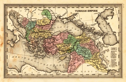
 Turkish Empire.
 Steel engraving, hand colored in outline and wash when published. This fine small engraved old map shows Turkish...
€35.00
 Tractus Rheni et Mosae, totusq, Vahallis á Rhenoberca Gorcomium usque cum terris adjacentibus ducatus Cliviae regno...
 Original antique copper engraving, hand colored in outline published in Joan Blaeu's 'Atlas Novus'....
€500.00
 The Turkish Empire in Europe and Asia with the Kingdom of Greece. Published under the Superintendence of the Society...
 Steel engraving, hand colored in outline when published.
€45.00
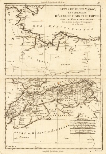
 Etats du Roi de Maroc; les Royaumes D' Alger, De Tunis et de Tripoli, avec les Pays Circonvoisins.
 Original antique copper engraving, uncolored as published. Two interesting maps of North Africa on 1 double page...
€80.00
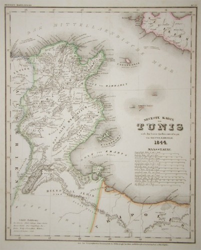
 Neueste Karte von Tunis nach den besten Quellen entworf. und gez. vom Hauptm. Radefeld.
 Steel engraving, in original colors, as published. A detailed map of Tunisia with many place names inland and along...
€80.00
 Hemisphere Septentrional pour voir plus distinctement Les Terres Arctiques Par Guillaume De Lisle de l Academie Rle....
 Copper-engraving, uncoloured as published. Fine example of a strong impression of this large map showing the...
€1,050.00
 Hemisphere Meridional pour voir plus distinctement Les Terres Australes Par Guillaume De l'Isle de l' Academie Rle....
 Copper engraving, uncolored as published.
€1,275.00
 The west Part of Barbary containing Fez. Marocco Algiers and Tunis. - The east Part of Barbary containing Tripoli...
 Copper engraving, uncolored as published. Published in Hermann Moll's 'Atlas Minor' 1736 in...
€120.00
 Gouvernement Général de Provence, divise en fes Vigueries, avec les pays circonvois ins, le comtat Vénaissin, la...
 Copper engraving, hand colored in outline when published. Interessanting detailled map of Southern France with the...
€260.00
 Terres de Grand Feu - Miró Artigas
 Original poster, desgined to celebrate the three-month exhibition at Galerie Maegth, Paris, of ceramics done by Joan...
€450.00
 Generalkarte der Königreiche Marokko, Fez, Algier und Tunis Nach den besten Karten und den neuesten Nachrichten...
 Original copper engraving, uncolored. The map is from Schrambl's Allgemeiner Grosser Atlas, begun in 1786. The map...
€195.00

