Radefeld, Hauptmann von
Neueste Karte von Schweden und Norwegen 1844 Entworf. u. gezeich. v. Hauptm. Radefeld.
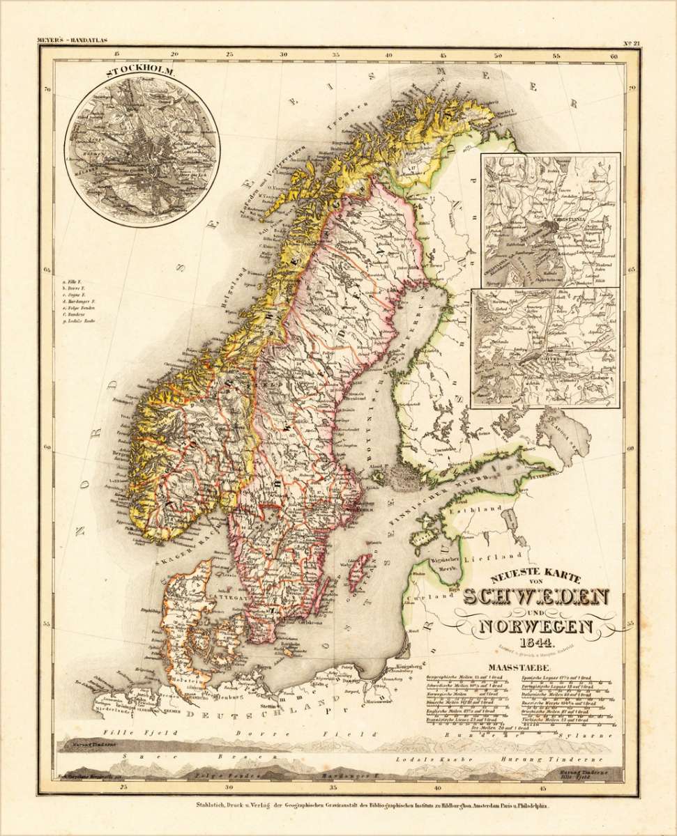
Eigenschaften
- Published: Meyers. , Hildburghausen
- Published date: 1844
- Type: Antique Map, map
- Technique: Steel engraving, original color
- Category: Schweden and Norway
- Issue date: 1844.
- Size: 300 by 375mm (11 by 14 inches).
- Stock number: 13624
- Condition: In excellent condition. 300 by 375mm (11 by 14 inches).
Article description
Article description
Original steel engraving engraved and drawn by Capt. Radefeld, published in Meyer's Handatlas, hand colored in outline when published. Decorative and detailed map of Sweden and Norway. In the upper left corner is a small inset map of Stockholm, as well two other inset maps with the surrounding of Christiania and Göteburg.You might also be interested in the following products
 Le Nord de...
 Copper engraving, uncolored as published. Rigobert Bonne (1727-1794) was a French cartographer of the late 18th...
€75.00
 Charte von...
 Original antique copper engraving, hand colored in outline and wash, when published. Die Landkarte zeigt Norwegen,...
€175.00
 Island - Die...
 Original antique lithograph, published by Justus Perthes in Gotha for 'Petermanns Geographische...
€75.00

Recently viewed products