The following products have been found matching your search "1870s": 21
No results were found for the filter!
 Originalkarte der Central-Türkei - Nach Aufnahmen vom Jahre 1869 entworfen von Ferdinand von Hochstetter 1870.
 Lithograph, uncolored as published. This antique map shows us detailed the region Nis - Leskovac towards Sofia and...
€65.00
 Der Kaiser Franz Josef Fjord und die Petermann Spitze im Innern von Grönland, entdeckt von der zweiten Deutschen...
 Lithograph, uncolored as published.
€60.00
 Übersicht von G. Le Jean's Reiserouten in der Türkei 1857-1870. Nach seiner Mittheilung von A. Petermann.
 .Lithograph, original hand color in outline.
€80.00
 Norwegische Fahrten im Karischen Meere u. westl. von Nowaja Semlä im Sommer 1870. Nebst Darstellung der...
 Lithograph, original hand color in outline and wash.
€45.00
 Kapt. E. H. Johannesen's Umfahrung von Nowaja Semlä im September 1870, nach der Karte von J. C. Hansen. Nebst...
 Lithograph, original color in outline and wash.
€50.00
 Originalkarte von Persien und den Nachbarländern zur Übersicht der Höhenverhältnisse und der Resultate der Englischen...
 Lithograph, original color in outline and wash.
€75.00
 Originalkarte von Ost-Spitzbergen zur Übersicht von Th. v. Heuglin's Aufnahmen, 1870 (Der...
 Lithograph, original color in outline and wash. August Heinrich Petermann (born April 18, 1822 in Bleicherode; †...
€80.00
NEW
 Plan des Königlichen Schlosses Wilhelmshöhe bei Cassel nebst Umgebung.
 Original Kupferstich, unkoloriert erschienen. Original bearbeitet und gezeichnet von Joh. Aug. Kaupert. Kupferstich...
€125.00
 North America Index Map to Canada and the United States
 Original antique steel engraving, hand colored in outline when published. This North America map shows the East...
€65.00
 North America Sheet I Nova-Scotia with Part of New Brunswick and Lower Canada.
 Original antique steel engraving, hand colored in outline when published. This North America map shows the east...
€70.00
 North America Sheet VI New York, Vermont, Maine, New Hampshire, Massachusetts, Connecticut, Rhode Island, and New...
 Original antique steel engraving, hand colored in outline when published. This North America map shows the east...
€95.00
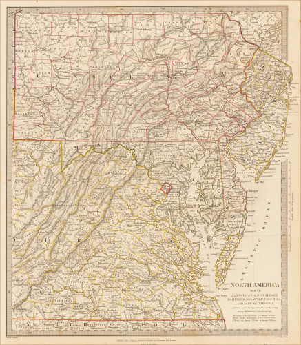
 North America Sheet VII Pennsylvania, New Jersey, Maryland, Delaware, Columbia and Part of Virginia.
 Original antique steel engraving, hand colored in outline when published. This North America map shows Pennsylvania,...
€60.00

