The following products have been found matching your search "explanations": 122
Or did you mean: explanation | explanantions | explorations | explantions | explations | exploration | explanatory
No results were found for the filter!
 Artesia
 Copper engraving, handcolored when published. Fine detailled engraved map showing Artois after the cartographic...
€145.00
 Hildburghausen
 Original antique copper engraving, hand colored in outline and wash when published. Fine district map of the area...
€450.00
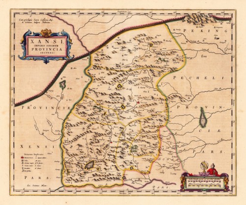
 Xansi. Imperii Sinarum Provincia Secunda.
 Original antique copper engraving, hand colored in outline published in Joan Blaeu's 'Atlas Novus'....
€600.00
 Thüringen
 Original antique copper engraving, hand colored when published. The colored title cartouche is in the lower right...
€350.00
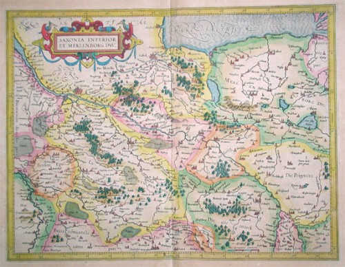
 Niedersachsen
 Kupferstichkarte in zeitgenössischem Grenzkolorit, verlegt von Jodocus Hondius. Copper engraving published by...
€300.00
 Elsass
 Original antique copper engraving, hand colored in outline and wash when published. Copper engraving published by...
€240.00
 Creta Iouis magni, medio iacet insula ponto. Ex conatibus geographicis Abrahami Ortelii.
 Original antique copper engraving, decorative hand colored. Published 1612 in the historical Atlas...
€495.00
 America Settentrionale disegnata dopo i viaggi di Lewis, Clarke, Parry e Franklin e dall Atl. di J. A. Buchon; per l...
 Copper engraving, hand colored in wash when published. This map of North America published by G. Tasso in Venice is...
€475.00
 Flusskarte von Nord u. Süd-America
 Steel engraving, hand colored in outline and wash when published. The two maps are showing detailed river maps of...
€48.00
 Delaware and Maryland
 Original antique lithograph, colored in outline and wash when published. This very detailed antique map shows the...
€90.00
 Vereinigte Staaten von Nordamerika
 Lithograph, original hand colored in outline. An uncommon map of the Eastern United States published in T....
€80.00
 Carte De L' Isle De La Martinique dressée par Mr. Bellin, Ingenieur du Roy de France et de la Marine communiquée au...
 Original antique copper engraving, hand colored in outline and wash when published. In the lower left corner ornated...
€375.01

