The following products have been found matching your search "lear": 49
No results were found for the filter!
 Austrian Dominions.
 Steel engraving, hand colored in outline and wash when published. This fine small engraved old map shows Austrian...
€35.00
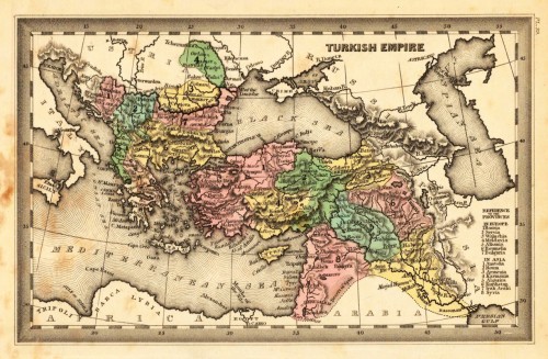
 Turkish Empire.
 Steel engraving, hand colored in outline and wash when published. This fine small engraved old map shows Turkish...
€35.00
 Greece.
 Steel engraving, hand colored in outline and wash when published. This fine small engraved old map shows Greece....
€38.00
 Russian Empire.
 Steel engraving, hand colored in outline and wash when published. Engraved by Dankworth, F. This fine small engraved...
€40.00
 Kentucky. Carte Géographique, Statisque et Historique Du Kentucky.
 Fine engraved map of Kentucky, showing various rivers, trails, streets, villages and small place names. Kentucky is...
€255.00
 Pensylvanie. Carte Géographique, Statisque et Historique De La Pensylvanie.
 Fine engraved map of Pennsylvania, showing various rivers, trails, streets, villages and small place names....
€110.00
 Caroline Meridionale. Carte Géographique, Statistique et Historique De Caroline du South
 Fine engraved map of South Carolina, showing various rivers, trails, streets, villages and small place names. South...
€345.00
 America mit den neuesten Entdeckungen, nach F.M. Fr. Schmitz
 Original antique copper engraving after Fr. Schmitz, in contemporary original color in outline. Detailed map of the...
€475.00
 Bresil
 Fine engraved map of Brazil, divided in its various regions. With many place names, rivers and mountains. The map is...
€177.00
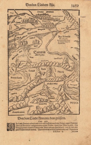
 Von den Ländern Asie. - Von dem Landt Armenia / dem grössern.
 Woodcut published 1628 in the Cosmographia by Sebastian Münster. Early woodcut map published in the 1628 edition...
€95.00
 Impero Brasiliano - dalle piú recenti mappe e dall`Amer. di J. A. Buchon per l`Atlante St. Geog. Polit. Letterario...
 Copper engraving, hand colored in outline when published. Fine engraved map of Brazil, divided in its various...
€159.00
 Carte Géographique, Statistique et Historique de l´Amerique Méridionale. - Carte de l´Amerique meridionale.
 Copper engraving, hand colored in outline when published. Fine engraved map of Columbo, divided in its various...
€159.00

