The following products have been found matching your search "rivere": 118
Or did you mean: Mountains and rivers | rivers | river | rivers and mountains | Danube river map | north america rivers | ob river | rider
No results were found for the filter!
 Geological map of the Red River and the Rio Grande
 Original lithograph, hand colored in wash when published. This early geological map depitcs the Witchita Mountains...
€125.00
 Regensburg - View of the old city across the Danube river.
 Modern lithograph. View across the Danube river towards the Stone bridge, with the old city of Ratisbon (Regensburg)...
€45.00
 Western Autralia containing the Settlements of Swan-River and King George´s Sound from recent Surveys sent to the...
 Steel engraving, hand colored in outline when published. This map shows West Australia.
€182.00
 The green river - Der grüne Strom
 Original lithograph in colors 1974 in Paris. Unsigned and unnumbered edition with 10,000 copies. Published in the...
€295.00
 Flusskarte von Nord u. Süd-America
 Steel engraving, hand colored in outline and wash when published. The two maps are showing detailed river maps of...
€48.00
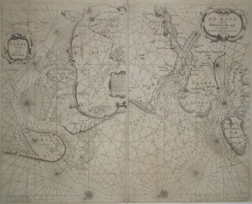
 a. De Texel Stroom en de Gaten van Marsdiep. Inset (c. 24 x 12cm) : Caarte vande Rede en Haven van Medenblick hoemen...
 Two sea-charts on one doublepage. The left one is showing Medenblick, Texel and Wieringen. Additional there is a...
€1,250.00
 Amer. Sep. Grand Lac De L'Esclave No. 15.
 Lithograph, original hand colored in outline. Large and high detailed map of the region of the Mac Kenzie River and...
€128.00
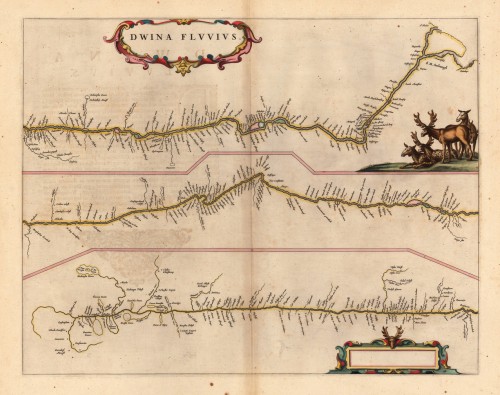
 Dwina Fluuius.
 Original antique copper engraving, hand colored in outline and wash when published. The map is divided into three...
€300.00
 Karte von der Einfahrt des Flusses Canton nach den neuesten Wahrnehmungen entworfen von N. Bellin Ing. de la Marine.
 Copper engraving, uncolored as published. This detailed antique map shows the entrance of the river Canton with its...
€95.00
 Karte von einem Theile der Küste von Africa von Tanit bis an den Fluß Senegal.
 Copper engraving, uncolored as published. This decorative map shows a part of the coast of West Africa with the...
€50.00
 Karte von der Mündung des Flusses Sanaga.
 Copper engraving, uncolored as published. This antique map shows detailed the mouth of the river of Sanaga...
€50.00
 Stuk von dem Eylande - Gegend von dem Fort St. Joseph in Galam - Grundriß des Forts St. Joseph.
 Copper engraving, uncolored as published. This map shows the river Sanaga. The map is divided up into three parts....
€50.00

