The following products have been found matching your search "wound": 23
Or did you mean: world | world map | world maps | MAPS OF THE WORLD | Latin world | Latin world map | The Times Atlas of World Hist | would
No results were found for the filter!
 North America Index Map to Canada and the United States
 Original antique steel engraving, hand colored in outline when published. This North America map shows the East...
€65.00
 North America Sheet I Nova-Scotia with Part of New Brunswick and Lower Canada.
 Original antique steel engraving, hand colored in outline when published. This North America map shows the east...
€70.00
 North America Sheet VI New York, Vermont, Maine, New Hampshire, Massachusetts, Connecticut, Rhode Island, and New...
 Original antique steel engraving, hand colored in outline when published. This North America map shows the east...
€95.00
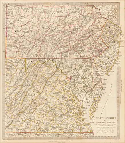
 North America Sheet VII Pennsylvania, New Jersey, Maryland, Delaware, Columbia and Part of Virginia.
 Original antique steel engraving, hand colored in outline when published. This North America map shows Pennsylvania,...
€60.00
 North America Sheet XIII Parts of Louisiana, Arkansas, Mississippi, Alabama & Florida.
 Original antique steel engraving, hand colored in outline when published. This North America map shows Parts of...
€110.00
 British North America
 Original antique steel engraving, hand colored in outline when published. An unusual map of British North America or...
€45.00
 New Universal Atlas Containing Maps of the various Empires, Kingdoms, States and Republics of the World...
 Original antique lithograph. Title page with an lithograph from the first landing of Columbus in the New World,...
€120.00
 Pas-caert vande Goud Cust in Guinea van C. tres Puntas tot Acara, daer mede in verthoont word, alle binnens lands...
 Original antique copper engraving, uncolored as published. This antique sea chart shows Guinea. Along the coast are...
€595.00
 Chart of the World Probeblatt für die Besitzer der Geogr. Mittleiungen.
 Original lithograph, hand colored when published.
€40.00
 Die Erde in zwey Halbkugeln der östlichen und westlichen nach den neuesten Entdeckungen dargestellt.
 Original antique copper engraving, hand colored in outline and wash, when published. A decorative world map by...
€350.00
 Mappe-Monde dressée suivant les nouvelles relations et assujettie aux observations astronomiques Par le S. Robert de...
 Copper engraving, handcolored in outline, when published. Fine and decorative world map in two hemispheres by Robert...
€2,150.00
 Mappe-Monde ou Carte Générale de la Terre.
 Copper-engraving, hand colored in outline when published. Decorative early 19th century world map showing the world...
€260.00

