Antiquariat Reinhold Berg eK
Wahlenstraße 8
D-93047 Regensburg
phone: +49 - 941 52229
cellphone: +49 - 160 9060 6746
mail: [email protected]

[Anonymous]

Europa

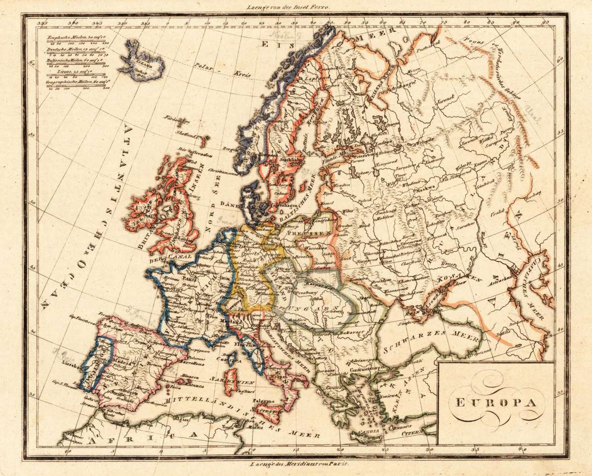
Europa – Original Hand-Colored Copper Engraving · T. Mollo, Vienna/Prague c. 1810 · Antique Map of Europe

Antique Europa
€110.00

Prices incl. VAT plus shipping costs

On stock,
Delivery time appr. 1-3 workdays

Eigenschaften
  • Prag and Vienna
  • 1810
  • Copper engraving / Original color.
  • Antique Map, map
  • Europe
  • 1810
  • 205 by 252mm (8 by 10 inches).
  • 23998
  • In excellent condition. 205 by 252mm (8 by 10 inches).

Article description

Article description

Original copper engraving with hand-applied outline color, published by Tranquillo Mollo — Vienna's leading map publisher — circa 1810. Image: 205 x 252 mm (8 x 10 inches). Political borders shown in color, with engraved place names, rivers, and mountain ranges throughout. A fine example of early 19th-century Viennese cartography. Tranquillo Mollo (1767–1837) was the foremost map and atlas publisher in Vienna at the turn of the 19th century. A Swiss-Italian entrepreneur, he founded his publishing house in 1798 and rapidly became one of Austria's most important producers of globes and maps. His firm published an extensive range of maps covering Europe, Asia, the Americas, and Australia, maintaining a high standard of precise engraving and careful hand-coloring. Mollo's maps are characteristic of the best of the Vienna publishing trade in the early 19th century. This map shows the continent of Europe with political borders highlighted in outline color, with many engraved place names, rivers, and mountain ranges. It extends east towards the Caspian Sea and Siberia, and in the northwest depicts the eastern coast of Greenland and Iceland. The careful outline coloring was applied at the time of publication in the Mollo atelier in Vienna. Though published anonymously, the map is attributed to the Mollo firm on the basis of its style, format, and date. In excellent condition. Colors vivid and fresh. No tears, creases, or foxing. Ready to frame. 205 x 252 mm.

Europa – Original Hand-Colored Copper Engraving · T. Mollo, Vienna/Prague c. 1810 · Antique Map of Europe


You might also be interested in the following products

Antique Carte D' Europe. Carte D' Europe.
Original copper engraving with hand-applied outline color, by engraver Blondeau, published by the celebrated French...
€110.00
Antique Romania Imperii Ova Oriens Est Descriptio Geographica Authore Michaelè Antonio Baudrand Parisino Abbate de Roboribus et de Gessenis Romae. Apud Ioannem Iacobum de Rubeis coum Priu S. Pont anno 1669. Romania Imperii...
Original copper engraving of the Eastern Roman Empire after the geographic text of Michel'Antoine Baudrand,...
€295.00
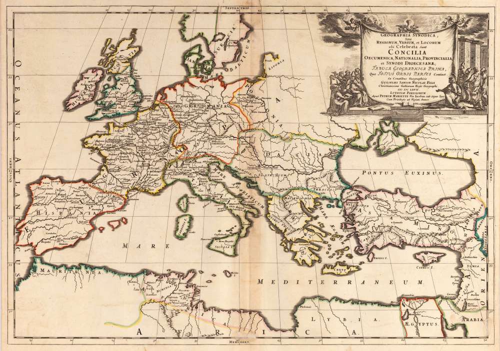
Antique Geographia Synodica, Sive regionum urbium, et locorum ubi celebrata sunt concilia oecumenica, nationalia, provincialia et synodi dioece sanae; Tabula geographia prima, quae tottus orbis partes continet. Ex Conatibus Geographicis Gulielmi Sanson Nicolai Filii Christianissimi Galliarum Regis Geographi. Geographia...
Rare and decorative large-format historical map of Europe showing the locations of Church Councils and Synods, in...
€322.43
Antique Karte der wichtigsten Habituellen Stossgebiete in Central-Europa. Nach Dr. Volger's Untersuchungen gez. von A. Petermann. Karte der...
Original color lithograph mapping the main seismic impact zones in Central Europe, by the renowned German...
€25.00
Recently viewed products