Ortelius, Abraham
Württemberg (Herzogtum)
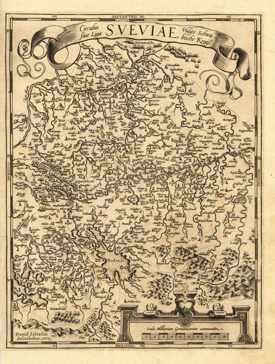
Württemberg (Herzogtum) - Abraham Ortelius ∑ Hand-Colored Original Copperplate Engraving ∑ Antwerpen 1579
Eigenschaften
- Published: Platin , Antwerpen
- Published date: 1579
- Type: Antique Map, map
- Category: Baden-Württemberg
- Technique: Copper engraving / Uncolored.
- Issue date: 1579
- Size: 321 by 243mm (12 by 9 inches).
- Stock number: 28112
- Condition: In excellent condition.
Article description
Article description
Hand-Colored Original Copperplate Engraving by Abraham Ortelius, depicting Württemberg (Herzogtum). Published Antwerpen, Platin, 1579. Sheet: 321 by 243mm (12 by 9 inches).. A fine and original hand-colored example of Ortelius's celebrated cartographic work, documenting this region of Germany with the precision and decorative artistry characteristic of the 15700s. Abraham Ortelius (1527-1598) was a Flemish cartographer and geographer from Antwerp, widely regarded as the creator of the first modern atlas. His landmark publication Theatrum Orbis Terrarum (1570) set the standard for atlas-making for the next century, presenting uniform copper-engraved maps with scholarly commentary. By Ortelius's death, the Theatrum had appeared in 25 editions in seven languages. In 1575, King Philip II of Spain appointed him Royal Geographer. His maps, engraved with extraordinary precision, are among the most sought-after in antique cartography, held in collections including the Plantin-Moretus Museum in Antwerp, the Library of Congress, and the British Library. This original copperplate engraving, with original hand coloring depicts the region of Württemberg (Herzogtum), published in Antwerpen, Platin, 1579. The map features a decorative Baroque cartouche containing the title inscription. The map records the political and geographic boundaries of the region as understood in 1579, offering a fascinating window into the history of German territorial organization. Sheet measures 321 by 243mm (12 by 9 inches).. In good condition overall, with minor signs of age appropriate for a 16th-century engraving. Ready to frame.Württemberg (Herzogtum) - Abraham Ortelius ∑ Hand-Colored Original Copperplate Engraving ∑ Antwerpen 1579
You might also be interested in the following products
 Württemberg...
 Hand-Colored Original Copperplate Engraving by Petrus Schenk & Gerard Valck, depicting Württemberg Herzogtum....
€450.00
 Circuli Sueviae...
 Hand-Colored Original Copperplate Engraving by Johann Baptist Homann, depicting Circuli Sueviae Mappa ex subsidiis...
€345.00
 Pharus-Plan...
 Original Lithograph by Pharus Verlag, depicting Pharus-Plan Stuttgart. Published Pharus Verlag, Berlin, 1910. Sheet:...
€95.00
 Circulus Suevicus...
 Hand-Colored Original Copperplate Engraving by Matthäus Seutter, depicting Circulus Suevicus in quo Ducatus...
€450.00
Recently viewed products