Great Britain
No results were found for the filter!
 Exactissima Regni Scotiae Tabula tam in Septentrionalem et Meridionalem quam in minores earumdem Provincias....
 Copper engraving, hand colored in outline and wash. Decorative antique map of the British Isles showing Scotland....
€545.00
 Hiberniae Regnum tam in praecipuas Ultoniae, Connaciae, Laceniae et Momoniae, quam in minores earundem Provincias et...
 Original copper engraving, hand colored in outline and wash when published. This detailed map is shown Ireland, parts...
€390.00
 Magna Brittania Pars Septentrionalis qua Regnum Scotiae ...
 Original copper engraving, hand colored when published.
€175.00
 Accuratissima Angliae Regni Walliae Principatus Descriptio Distincete divisa in Omnes fuas Provincias et editia per...
 Copper engraving, hand colored in outline when published. A very detailed and rare old map of England and Walles with...
€480.00
 Schottland Bergzeichnung v. Hauptm Radefeld. 1848.
 Steel engraving, hand colored in outline, when published. Small and decorative map of Scotland, showing many place...
€45.00
 Britische Inseln
 Original lithograph, hand colored in outline when published. This original old map depicts the British Isles with...
€95.00
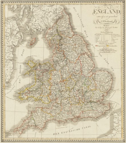
 England entworfen und gezeichnet von C. F. Weiland. Weimar, im Verlage des Geograph. Instituts 1822.
 Copper engraving, hand colored in outline when published. An old map of England depicted by the German mapmaker Carl...
€220.00
 Scotland entworfen und gezeichnet von C. F. Weiland. Weimar, Im Verlage des Geograph: Instituts. 1821
 Copper engraving, hand colored in outline when published. A detailed and interesting map by the German mapmaker Carl...
€280.00
 Grosbritanien und Irland entworfen von C. F. Weiland. Weimar im Verlage des Geograph. Instituts 1822.
 Copper engraving, hand colored in outline when published. A detailed and interesting map by the German mapmaker Carl...
€295.00
 De Custen van Engelant tusschen de twee pointen van Poortlandt en Lezard.
 Fascinating detailed seachart of the south-eastern coast of England showing the coastline from Lizard Point over...
€950.00
 Accurater Grundriss u: Gegend der Koenigl: Gross-Brittannischen Haupt und Residentz-Stadt London wie auch Prospecte...
 Original antique copper engraving in full contemporary handcolor in wash and outline when published. A fine antique...
€950.00
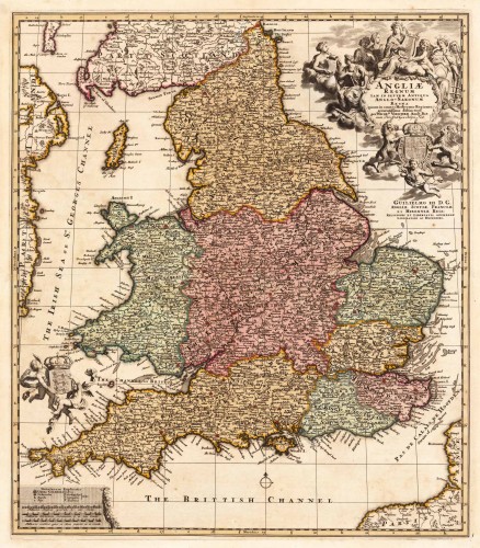
 Angliae Regnum tam in septem Antiqua Anglo-Saxonum Regna quam in omnes Hodiernas Regiones accuratissime distinctum...
 Copper engraving, hand colored in outline and wash. Decorative antique map showing England, Isle of Man and a part of...
€445.00
Recently viewed products

