The following products have been found matching your search "mop": 33
Or did you mean: map | world map | map asia | wall map | map of london | Latin map | london map | spain map
No results were found for the filter!
![Banka [lower left corner Antique Banka [lower left corner with inset map: Prefecture de Banka et Billiton]](https://bergbook.com/media/image/6d/f7/a3/32005_500x500.jpg) Banka [lower left corner with inset map: Prefecture de Banka et Billiton]
Banka [lower left corner with inset map: Prefecture de Banka et Billiton] Original manuscript map in colors. This antique manuscript map shows the island of Banka (Bangka, Bangka-Belitung)...
€1,100.00
 A New Map of the Circle of Upper Saxiony with the Duchy of Silesia an Lusatia, divided according to the Congress of...
 Original antique copper engraving, hand colored in wash and outline when published. Decorative and detailed map of...
€140.00
 Ordnance Survey map of Roman Britain. Third edition.
 Colour printed (lithograph?) map, mounted on gray, probably publisher's linen. Printed and Published by the Director...
€945.00
 Nieuwe Zeekaart Van t' Eerste Gedeelt Van t' Canaal Tufschen Engeland en Vrankryk ... The New Sea map of...
 Original antique copper engraving, uncolored as published. Decorative hand colored seachart showing the English...
€495.00
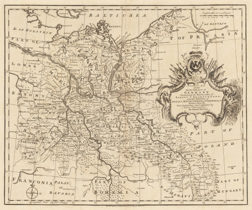
 A Correct Map of the North East Part of Germany containing the Electorates...
 Original Kupferstich, unkoloriert erschienen. Dargestellt wird der nordöstliche Teil Deutschlands mit Teilen von...
€145.00
 An Accurate Map of the Circle of Franconia, Drawn from the best Authorities.
 Original antiker Kupferstich, unkoloriert. Erschienen in,A General Description of the World' von Daniel Fenning und...
€80.00
 Geographical, Historical, And Statistical Map of Mexico
 Original copper engraving, printed and published in Carey and Lea's "A Complete Historical, Chronological,...
€1,200.00


