The following products have been found matching your search "neueste": 70
Or did you mean: neuesten | neugefassten | nebst | newest | Neueste Karte von New York mit | neuste | neusten | neisse
No results were found for the filter!
 Die Erde in zwey Halbkugeln der östlichen und westlichen nach den neuesten Entdeckungen dargestellt.
 Original antique copper engraving, hand colored in outline and wash, when published. A decorative world map by...
€350.00
 General Carte von Gross Britannien nach den neuesten Hülfsmitteln bearbeitet. in Wien bey Tranquillo Mollo
 Original antique copper engraving, hand colored in outline and wash, when published. Detailled map of the British...
€195.00
 Neueste Karte von Arkansas mit seinen Canaelen Strassen & Entfernungen der Hauptpunkte.
 Steel engraving, hand colored in outline and wash when published. This antique map shows Arkansas with his canals,...
€70.00
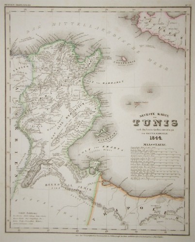
 Neueste Karte von Tunis nach den besten Quellen entworf. und gez. vom Hauptm. Radefeld.
 Steel engraving, in original colors, as published. A detailed map of Tunisia with many place names inland and along...
€80.00
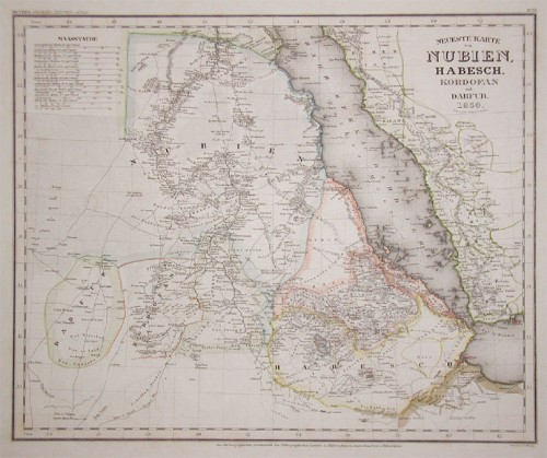
 Neueste Karte von Nubien, Habesch, Kordofan und Dafur.
 Steel engraving, in original colors, as published. A detailed map of Nubia and Habesch with the Red Sea.
€60.00
 Neueste Karte von Sudan und Guinea Entworfen u. Gezeichnet von Hauptm. Radefeld.
 Steel engraving, hand colored in outline when published. This interesting map shows Sudan and Guinea in West Africa....
€80.00
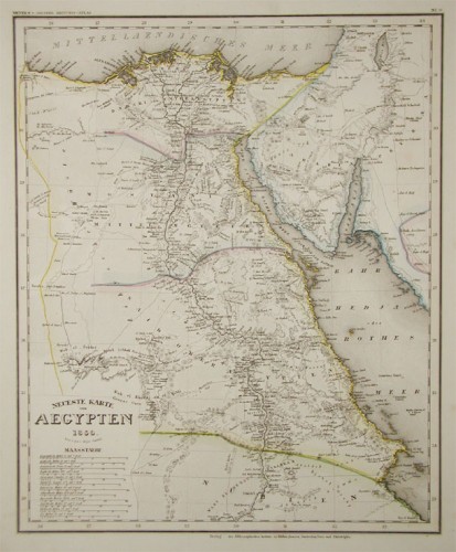
 Neueste Karte von Aegypten 1844. Entw. u. gez. v. Hauptm. Radefeld.
 Steel engraving, in original colors, as published. A detailed map of Egypt with the Red Sea.
€80.00
 Neueste Karte von Holland, Belgien und Luxemburg.
 Steel engraving, handcolored in outline, when published. Small and decorative map of the Low Countries, showing many...
€80.00
 Neueste Karte von Arkansas mit seinen Canaelen Strassen & Entfernungen der Hauptpunkte. Nach den bessten Quellen...
 Steel engraving, hand colored in outline and wash when published. This antique map shows Arkansas with his canals,...
€173.00
 America mit den neuesten Entdeckungen, nach F.M. Fr. Schmitz
 Original antique copper engraving after Fr. Schmitz, in contemporary original color in outline. Detailed map of the...
€475.00
 Neueste Karte von England nach den besten Quellen entworfen u. gezeichnet vom Hauptm. Radefeld. 1844
 Steelengraving, handcolored in outline when published. The detailled map of the British Isles is providing a lot of...
€80.00
 Neueste Karte von Grossbritannien und Ireland Nach den besten Quellen entworf. u. gezeichn. von Major Radefeld. 1850.
 Steelengraving, handcolored in outline when published. Detailled map of Great Britain and Ireland with many...
€80.00

