The following products have been found matching your search "pole": 22
No results were found for the filter!
 Entrelaces II ex 61/80
 Original color engraving, signed, numbered 61/80 Original abstrakt engraving by Pol Bury. In 1938/39 he studied at...
€1,800.00
 Das Mitternächtliche vesteland. - Continent Septentrional.
 Copper engraving, hand colored in outline and wash. Small and decorative map showing the North Pol with Greenland...
€70.00
 L´Empire D´Allemagne dedié a Monseigneur Amelot Ministre et Secretaire D´Etat a Paris Chez Crepy 1767.
 Original Kupferstich in zeitgenössischem Grenzkolorit. Dargestellt wird das Deutsche Reich mit seinen Staaten,...
€120.00
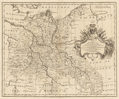
 A Correct Map of the North East Part of Germany containing the Electorates...
 Original Kupferstich, unkoloriert erschienen. Dargestellt wird der nordöstliche Teil Deutschlands mit Teilen von...
€145.00
 Germania Augustiniana Exhibens Provincias Ord. Fr. Fr. Eremit. S. Augustini uns cum Monasteriis et Residentiis ad...
 Original Kupferstich in zeitgenössischem Grenz- und Flächenkolorit. Dargestellt wird Deutschland, Polen, Böhmen,...
€290.00
 Germania Milliaria Germani
 Original antiker Kupferstich in späterem Handkolorit. Diese kleine dekorative Landkarte zeigt Deutschland und Teile...
€145.00
 L´Asie divisee selin l´etendue de ses principales parties et dont les points Princiaux sont Placez sur les...
 Original antique copper engraving, hand colored in outline when published. Carefully restored and mounted on linen....
€24,000.00
 Weltkarte in Nordpolar-Sternenprojektion. Nach einer Idee von Dr. G. Jäger, in Wien. Mit Modifikationen von A....
 Original antique lithograph, original color as published. Map shows six continents, major cities, and the...
€55.00
 Karte der Arktischen & Antarktischen Regionen zur Übersicht der Entdeckungsgeschichte. - Von A. Petermann
 Original lithograph, handcolored in outline and wash when published. Maps of the Arctic and Antarctic regions...
€120.00
 Carte generale de L'Empire d'Allemagne et pays circonvoisins…
 Original antiker Kupferstich in zeitgenössischem Grenzkolorit. Früher Abdruck dieser schönen Karte von Deutschland,...
€275.00

