Ortelius, Abraham
Regionis: Bitvrgvm Exactiss: Descriptio per D. 10: Annem Calamaevm. - Limaniae Topographia. Gabriele Symeoneo Auct.
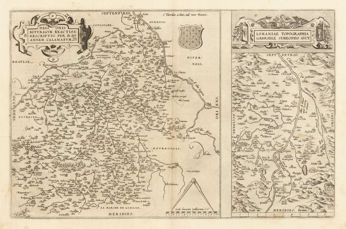
Abraham Ortelius – Regionis: Bitvrgvm Exactiss: Descriptio per D. 10: Annem... · Original Antique Copper Engraving, Hand Coloured · Antwerp 1571
Eigenschaften
- Published: Antwerp
- Published date: 1571
- Technique: Copper engraving
- Type: map
- Issue date: 1571
- Category: Neuvy-sur-Barangeon - Bourges
- Size: 31 x 48,7 cm (12.25 x 19,25 inches).
- Bibliography: Broe: 39 a+b
- Stock number: 33420
- Condition: In excellent condition.
Article description
Article description
Original antique copper engraving, hand coloured when published, depicting Regionis: Bitvrgvm Exactiss: Descriptio per D..... Published in Antwerp, 1571. Sheet: 31 x 48,7 cm (12.25 x 19,25 inches).. A fine decorative example of antique cartography by Abraham Ortelius, rich in period detail and historical significance. Abraham Ortelius (1527–1598) was a Flemish cartographer and geographer born in Antwerp who produced the Theatrum Orbis Terrarum in 1570 — widely regarded as the first modern atlas. Ortelius brought together, standardised, and re-engraved maps from diverse sources into a single coherent folio work of fifty-three maps. The atlas was enormously successful, running to at least forty-two editions in seven languages between 1570 and 1612. King Philip II of Spain appointed Ortelius his Royal Geographer in 1575. A friend and travel companion of Gerardus Mercator, Ortelius was also a noted numismatist and antiquary. Maps from the Theatrum Orbis Terrarum are among the most collected antique maps in the world, admired for their fine engraving, decorative strapwork cartouches, and scholarly accuracy. Ortelius was born on 14 April 1527 in the city of Antwerp, which was then in the Habsburg Netherlands (modern-day Belgium). The Orthellius family were originally from Augsburg, a Free imperial city of the Holy Roman Empire. In 1535, the family had fallen under suspicion of Protestantism. Following the death of Ortelius's father, his uncle Jacobus van Meteren returned from religious exile in England to take care of Ortelius. Abraham remained close to his cousin Emanuel van Meteren, who would later move to London. In 1575 he was appointed geographer to the king of Spain, Philip II, on the recommendation of Arias Montanus, who vouched for his orthodoxy. He travelled extensively in Europe and is specifically known to have traveled throughout the Seventeen Provinces; in southern, western, northern, and eastern Germany (e.g., 1560, 1575–1576); France (1559–1560); England and Ireland (1576); and Italy (1578, and perhaps twice or thrice between 1550 and 1558). Beginning as a map-engraver, in 1547 he entered the Antwerp Guild of Saint Luke as an illuminator of maps. He supplemented his income trading in books, prints, and maps, and his journeys included yearly visits to the Frankfurt book and print fair, where he met Gerardus Mercator in 1554. In 1560, however, when travelling with Mercator to Trier, Lorraine, and Poitiers, he seems to have been attracted, largely by Mercator's influence, towards the career of a scientific geographer. In good condition for its age (published 1571). Colours well preserved. Some age-toning and minor imperfections consistent with a document of this antiquity. A condition report is available on request.Abraham Ortelius – Regionis: Bitvrgvm Exactiss: Descriptio per D. 10: Annem... · Original Antique Copper Engraving, Hand Coloured · Antwerp 1571
Broe: 39 a+b
You might also be interested in the following products
 Artesia
 Original antique copper engraving, hand coloured when published, depicting Artois. Published by M. Seutter, Augsburg,...
€145.00
 Artesia. Iacobo...
 Original antique copper engraving, hand coloured when published, depicting Artois. Published in Antwerpen, 1588....
€295.00
 Elsass
 Original antique copper engraving, hand coloured when published, depicting Elsass - Alsatia. Published by Jodocus...
€240.00
 Li contorni di...
 Original antique copper engraving, hand coloured when published, depicting Paris. Published by Antonio Zatta.,...
€180.00
Recently viewed products