The following products have been found matching your search "carle": 51
Or did you mean: carte | care | calle | carl | carlo | Bellin Carte | Carte du Monde | Carl Flemming
No results were found for the filter!
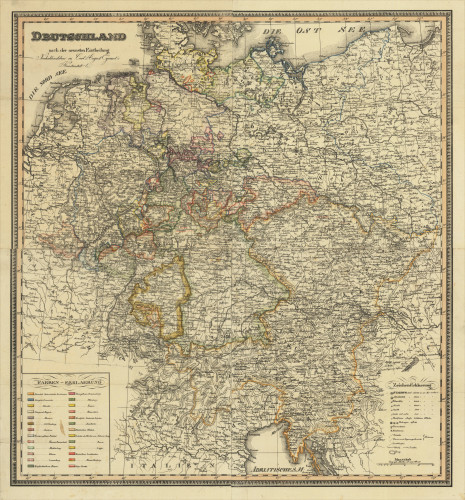
 Deutschland nach der neuesten Eintheilung Neuhaldensleben Carl August Eyraud's Kunstanstalt.
 Original lithograph, hand colored in outline when published. A fine large and detailed engraved map of Germany...
€595.00
 Scotland entworfen und gezeichnet von C. F. Weiland. Weimar, Im Verlage des Geograph: Instituts. 1821
 Copper engraving, hand colored in outline when published. A detailed and interesting map by the German mapmaker Carl...
€280.00
 Grosbritanien und Irland entworfen von C. F. Weiland. Weimar im Verlage des Geograph. Instituts 1822.
 Copper engraving, hand colored in outline when published. A detailed and interesting map by the German mapmaker Carl...
€295.00
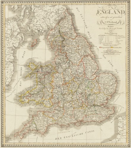
 England entworfen und gezeichnet von C. F. Weiland. Weimar, im Verlage des Geograph. Instituts 1822.
 Copper engraving, hand colored in outline when published. An old map of England depicted by the German mapmaker Carl...
€220.00
 Der westliche Theil von Mittel-Asien oder Turan mit einem Theil der angaenzenden Laender. Entworfen und gezeichnet...
 Original antique copper engraving, hand colored in outline when published. A detailed and interesting map by the...
€145.00
 Die Herzögl: Gotha-Altenburgische Stadt Camburg an der Saale.
 Original Radierung, handkoloriert. Stadtansicht von Camburg an der Saale (heute Dornburg-Camburg in Thüringen) von...
€850.00
 Der Dom zu Bamberg.
 Steel engraving, uncolored as published, engraved by Carl Rauch. The detailed engraving shows us the 'cathedral...
€50.00
 Fraischlicher Bezirck der Fraenckischen Vestung und Nürnbergischen Pfleg Amts Liechtenau im alten Nordgau gelegen, -...
 Copper engraving, hand colored in outline and wash when published. Matthäus Seutter (September 20, 1678 – March...
€350.00
 Cursus rheni supra Argentoratum et Regiones Adiacentes, per Matthaeum Seutter aeri incisus:
 Copper engraving, hand colored in outline and wash when published. Matthäus Seutter (September 20, 1678 – March...
€245.00
 Ingria et Carelia
 Original copper engraving, hand colored in wash and outline. The decorative map depicts roads, rivers, waterways,...
€2,200.00
 Das Grossfürstlichenthum Finland, Nach des Freiherrn S.G. Hermelin´s Karte, von C.P. Hallström, Verbessert und...
 Copper engraving, hand colored in outline when published. Engraved by Carl Martin in Leipzig. An interesting old map...
€345.00
 Circulus Bavariae in suas quasque Ditiones tam cum Finitimis, quam insertis Regionibus Accuratissime Divisus, Aeri...
 Copper engraving, original color in outline and wash when published. The antique map by Matthäus Seutter shows...
€280.00

