The following products have been found matching your search "containing": 113
Or did you mean: contained | continent | contains | continuing | convincing | continens | combining | Europe continent
No results were found for the filter!
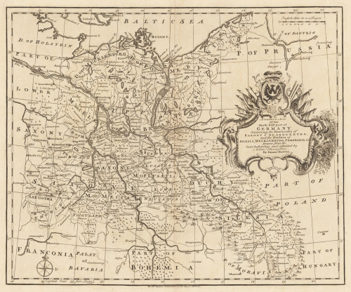
 The N.E. Part of Germany Containing the Dominions of the Electors of Brandenburg and Saxony, the Dutchy of...
 Copper engraving, uncolored as published. Small and decorative map of the northeastern part of Germany mainly...
€145.00
 Western Autralia containing the Settlements of Swan-River and King George´s Sound from recent Surveys sent to the...
 Steel engraving, hand colored in outline when published. This map shows West Australia.
€182.00
 The west Part of Barbary containing Fez. Marocco Algiers and Tunis. - The east Part of Barbary containing Tripoli...
 Copper engraving, uncolored as published. Published in Hermann Moll's 'Atlas Minor' 1736 in...
€120.00
 The N.E. Part of Germany Containing the Dominions of the Electors of Brandenburg and Saxony, the Dutchy of...
 Copper engraving, hand colored in outline when published. Small and decorative map of the northeastern part of...
€145.00
 Turkey II. Containing the Northern Part of Greece. - Published under the Superintendence of the Society for the...
 Steel engraving, hand colored in outline when published. A very decorative map which shows Turkey in Southeast...
€39.00
 A Correct Map of the North East Part of Germany containing the Electorates...
 Original Kupferstich, unkoloriert erschienen. Dargestellt wird der nordöstliche Teil Deutschlands mit Teilen von...
€145.00
 New Universal Atlas Containing Maps of the various Empires, Kingdoms, States and Republics of the World...
 Original antique lithograph. Title page with an lithograph from the first landing of Columbus in the New World,...
€120.00
 Insularum Archipelagi Septentrionalis seu Maris Aegaei Accurata Delinatio Auctore I. Laurenbergio.
 Original antique copper engraving, hand colored in outline when published. The map was published in Joan....
€495.00
 Pascaert van Groen-Landt Yslandt, Straet Davidts Ian Mayen Eylandt Terra Nova, hoemen de selvige van Hitlandt en de...
 Original antique copper engraving, uncolored as published. Detailed chart of the Northeastern part of Canada,...
€1,750.00
 Pascaarte vande Norder Zee custen van America. Vande West-hoeck van Ysland doorde Straet Davis en Hudson, tot aen...
 Original antique copper engraving, uncolored as published. A highly detailed and decorative sea chart of Greenland...
€1,100.01
 Insularum Moluccarum Nova Descritio
 Original antique copper engraving, hand colored in outline when published. Sea chart of the Molucca Islands, the...
€425.00
 Pas kaart Van de Noord Kust van Espaniola met d Eylanden daar Benoorden Door C Voght Geometra.
 Original antique copper engraving, finely hand colored in outline and wash, probably later hand color. Detailed...
€750.00

