The following products have been found matching your search "explanation": 122
Or did you mean: explanations | explanantions | explorations | explantions | exploitation | explations | exploration
No results were found for the filter!
 Grosbritanien und Irland entworfen von C. F. Weiland. Weimar im Verlage des Geograph. Instituts 1822.
 Copper engraving, hand colored in outline when published. A detailed and interesting map by the German mapmaker Carl...
€295.00
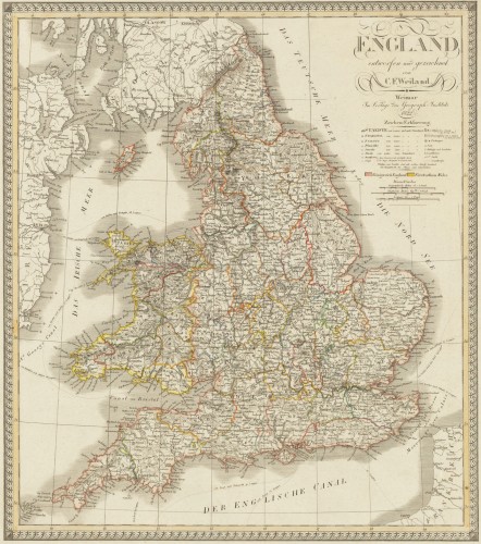
 England entworfen und gezeichnet von C. F. Weiland. Weimar, im Verlage des Geograph. Instituts 1822.
 Copper engraving, hand colored in outline when published. An old map of England depicted by the German mapmaker Carl...
€220.00
 Plan-Phare Paris
 Original lithograph, printed in colors. Published in the ,Deutsche Verlagsgesellschaft' in Hamburg. Detailed...
€125.00
 Fishkill - Carthage Landing - Hughsonville - New Hackensack - Glenham
 Original antique lithograph, original color in outline and wash. Published in Beer's famous county atlas...
€300.00
 Plan of Peekskill Westchester Co. N. Y.
 Original antique lithograph, original color in outline and wash. Published in Beer's famous county atlas "Atlas of...
€250.00
 Geneve - Genff
 Original copper engraving, uncolored when published. A fine engraved large decorative city view of Geneva in...
€1,800.00
 Terra Sancta, sive Promissionis, olim Palestina recens delineata, et in lucem edita per Nicolaum Visscher Anno 1659....
 Copper engraving, hand colored in outline and wash when published. Old colored decorative antique map of Nicolaus...
€795.00
 Comitatus Hannoniae tabula emendata per Alexandrum Penez et edita per Nicolaum Visscher cum priv. ord....
 Copper engraving, hand colored in wash and outline, when published. This decorative map shows Hannonia in Belgium....
€145.00
 Ratisbona in media Bavaria ad Danubium sita, probe munita, et praeter florentem mercaturam, ob continuata ab A°. 1662...
 Original Kupferstich, in zeitgenössischem Grenz- und Flächenkolorit. Diese dekorative alte Landkarte zeigt eine...
€950.00
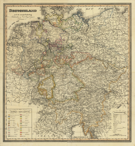
 Deutschland nach der neuesten Eintheilung Neuhaldensleben Carl August Eyraud's Kunstanstalt.
 Original lithograph, hand colored in outline when published. A fine large and detailed engraved map of Germany...
€595.00
 Comitatus Glatz - Authore Jona Sculteto.
 Copper engraving, hand colored in outline, when published in Joan Blaeu's ,Atlas Novus'. This fine antique...
€480.00
 Neueste Karte von Pennsylvania mit seinen Canaelen, Eisenbahnen & c. Nach den besten Quellen bearbeitet. 1845.
 Steel engraving, hand colored in outline and wash when published. Detailed map of the state of Pennsylvania. Inside...
€65.00

