The following products have been found matching your search "geographica": 92
Or did you mean: geographical | geographic | geographia | geographici | geographicae | geographicam | geographice | Mappa Geographica
No results were found for the filter!
 Arcipelago delle Antille ossia Indiae Occidentali. (America)
 Lithograph, hand colored in outline when published. Geographical map from the "Geographical Atlas with Information...
€320.00
 Plan of the City and Harbour of Marseille.
 Attractive town plan with decorative cartouche from 'A New Geographical Dictionary: containing a full and...
€50.00
 Plan of La Hogue, with the Intended Works.
 Original antique copper engraving, uncolored. Original antique plan of La Hogue, with the Intended Works, published...
€50.00
 Plan of Dieppe with the New Fortifications and Projected Works.
 Original antique copper engraving, uncolored. Original antique map of Dieppe, France, published in,The Geographical...
€65.00
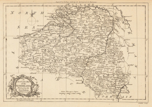
 An Accurate Map of the Netherlands Drawn from the Sieur Robert, with Improvements.
 Original antique copper engraving, uncolored. Original antique map of the Netherlands, published in,the Geographical...
€85.00
 Plan of the Town and Harbour of Boulogne.
 Original antique steel engraving, uncolored. Original antique map of Bolougne, France, published in...
€80.00
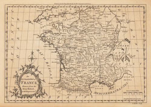
 An Accurate Map of France Drawn from the Sieur Robert, with Improvemts.
 Original antique copper engraving, uncolored. Published in London and engraved for the 'New Geographical...
€80.00
 Plan of the Town and Mole of Agde With the Fort de Brescou
 Original antique copper engraving, uncolored. Engraved by F. A. Aveline. Original antique plan of the town and mole...
€90.00
 L´Asie divisee selin l´etendue de ses principales parties et dont les points Princiaux sont Placez sur les...
 Original antique copper engraving, hand colored in outline when published. Carefully restored and mounted on linen....
€24,000.00
 Plan de l'Histoire universelle: ou l'on voit les quatre Monarchies du Monde, et tous les Anciens Etats...
 Original antique copper engraving, uncolored as published. Geographical map, contained in Volume I "Atlas...
€249.99
 Germaniae veteris Nova Descriptio.
 Original antique copper-engraving, decorative handcolored in outline when published. Published in a Latin text...
€395.00
 Carte de la Petite Bukharie et Pays Voisins Tirée des Auteurs Anglois Pour sirvir a l`Histoire Generale des Voyages....
 Original antique copper engraving, hand colored in outline and wash. As a cartographer, Bellin excelled above all in...
€95.00

