The following products have been found matching your search "geographical": 83
Or did you mean: geographica | geographici | geographcal | geographicae | geographicam | geographiae | geographicis | Mappa Geographica
No results were found for the filter!
 Electoratus Brandenburgi Mekelenburgi. Et maximae Partis Pomeraniae novissima Tabula.
 Original anitque copper engraving, hand colored in outline and wash when published. An interesting Visscher map of...
€495.00
 Der westliche Theil von Mittel-Asien oder Turan mit einem Theil der angaenzenden Laender. Entworfen und gezeichnet...
 Original antique copper engraving, hand colored in outline when published. A detailed and interesting map by the...
€145.00
 Lotharingia (Lothringen mit Saarland)
 Woodcut map, published in the Ptolemy edition by Waldseemüller, 1522 in Strasbourg. Old colored example. One of the...
€1,800.00
 Neuw Griechenlandt, mit andern anstossenden Ländern, wie es zu unsern Zeiten beschrieben ist.
 Woodcut map, finely hand colored in wash by a later hand. Verso illustrated with a decorative colored woodcut...
€545.00
 Arcipelago delle Antille ossia Indiae Occidentali. (America)
 Lithograph, hand colored in outline when published. Geographical map from the "Geographical Atlas with Information...
€320.00
 Plan of the City and Harbour of Marseille.
 Attractive town plan with decorative cartouche from 'A New Geographical Dictionary: containing a full and...
€50.00
 Plan of La Hogue, with the Intended Works.
 Original antique copper engraving, uncolored. Original antique plan of La Hogue, with the Intended Works, published...
€50.00
 Plan of Dieppe with the New Fortifications and Projected Works.
 Original antique copper engraving, uncolored. Original antique map of Dieppe, France, published in,The Geographical...
€65.00
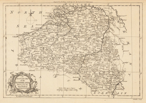
 An Accurate Map of the Netherlands Drawn from the Sieur Robert, with Improvements.
 Original antique copper engraving, uncolored. Original antique map of the Netherlands, published in,the Geographical...
€85.00
 Plan of the Town and Harbour of Boulogne.
 Original antique steel engraving, uncolored. Original antique map of Bolougne, France, published in...
€80.00
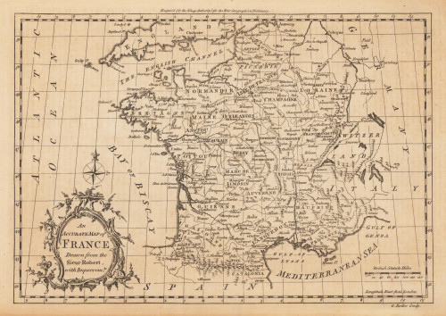
 An Accurate Map of France Drawn from the Sieur Robert, with Improvemts.
 Original antique copper engraving, uncolored. Published in London and engraved for the 'New Geographical...
€80.00
 Plan of the Town and Mole of Agde With the Fort de Brescou
 Original antique copper engraving, uncolored. Engraved by F. A. Aveline. Original antique plan of the town and mole...
€90.00

