The following products have been found matching your search "marked": 19
No results were found for the filter!
 Carolina By Hermann Moll Geographer Note that y Plantations are marked thus II. A Map of y Island of Bermudos....
 Copper engraving, uncolored as published. The Geographer Hermann Moll worked came originally from the Netherlands...
€545.00
 Kleve (Herzogtum)
 Original antique copper engraving, hand colored in outline and wash when published. Dargestellt wird detailliert...
€380.00
 Clivia Ducatus et Ravenstein Dominium.
 Engraved map in fine contemporary colors in outline and wash. Published in the edition of Blaeu's "Atlas...
€380.00
 De Custen van Denemarcken, en Sweden, van Valsterbon tot Schenckenes, als mede de custen van Pomeren van 't...
 Detailled seachart of a part of the Baltic Sea with the Southern Swedish coast from Schoenen towards Calmer with the...
€1,450.00
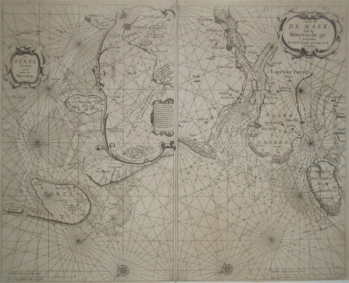
 a. De Texel Stroom en de Gaten van Marsdiep. Inset (c. 24 x 12cm) : Caarte vande Rede en Haven van Medenblick hoemen...
 Two sea-charts on one doublepage. The left one is showing Medenblick, Texel and Wieringen. Additional there is a...
€1,250.00
 De Custen van Engelant tusschen de twee pointen van Poortlandt en Lezard.
 Fascinating detailed seachart of the south-eastern coast of England showing the coastline from Lizard Point over...
€950.00
 Vereinigte Staaten Von Nord-America
 Lithograph, handcolored in outline, when published. An excellent example of Flemming's map of the United...
€145.00
 Nord America mit West Indien.
 Steel engraving, hand colored in outline when published. Decorative doublepage handcolored engraved map, showing...
€245.00
 Annandale - Tivoli - Barrytown - Madalin - Upper Red Hook
 Lithograph, original color in wash when published. This antique map shows five towns (Annandale, Barrytown, Upper...
€95.00
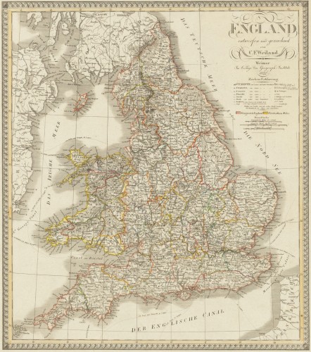
 England entworfen und gezeichnet von C. F. Weiland. Weimar, im Verlage des Geograph. Instituts 1822.
 Copper engraving, hand colored in outline when published. An old map of England depicted by the German mapmaker Carl...
€220.00
 Insulae de Cabo Verde, Olim Hesperides, Sive Gorgades: Belgice de Zoute Eylanden.
 Original copper engraving, uncolored published. Double page sea chart covering detailed the Cap Verde Islands in the...
€590.00
![Banka [lower left corner Antique Banka [lower left corner with inset map: Prefecture de Banka et Billiton]](https://bergbook.com/media/image/6d/f7/a3/32005_500x500.jpg) Banka [lower left corner with inset map: Prefecture de Banka et Billiton]
Banka [lower left corner with inset map: Prefecture de Banka et Billiton] Original manuscript map in colors. This antique manuscript map shows the island of Banka (Bangka, Bangka-Belitung)...
€1,100.00

