The following products have been found matching your search "south carolina": 7
Or did you mean: south | south france | sout | south america | South Seas | south africa | south tyrol | south Boston
No results were found for the filter!
 North America Sheet XI Parts of North and South Carolina
 Steel engraving, hand colored in outline when published. This antique map shows the East Coast with North and South...
€110.00
 Caroline Meridionale. Carte Géographique, Statistique et Historique De Caroline du South
 Fine engraved map of South Carolina, showing various rivers, trails, streets, villages and small place names. South...
€345.00
 Süd Carolina. Nach des Gouverneurs von Carolina, J. Drayton´s Charte (1803) reduciert.
 Copper engraving, uncolored as published. This interesting antique map shows South Carolina and its cartographic...
€245.00
 Neueste Karte von Süd Carolina mit seinen Canaelen Strassen Dampfschiff Routen und Entfernungen der Hauptpunkte. Nach...
 Steel engraving, hand colored in outline when published.
€205.00
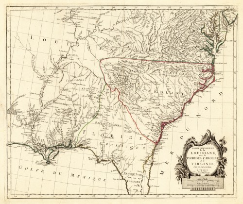
 Partie Méridionale de la Louisiane avec la Floride la Caroline et la Virginie, Par le Sr. D. Anville. A´Venise Par P...
 Copper engraving, hand colored in outline. This antique map shows large parts of Florida, Carolina and Louisiana. In...
€645.00
 Physikalische Karte des Alleghany-Systems. Nach allen vorhandenen Messungen und Untersuchungen gezeichnet von Ernest...
 Lithograph, original hand colored color in outline when published. This antique map drawn by Ernest Sandoz shows in...
€145.00
 Carte de la Partie Sud des Etats Unis de L'Amerique Septentrionale. Par M. Bonne, Ingénieur-Hydrographe de la...
 Copper engraving, hand colored in outline and wash. Detailed map including Virginia, Georgia and the Carolinas,...
€195.00

