Robert, Sr.
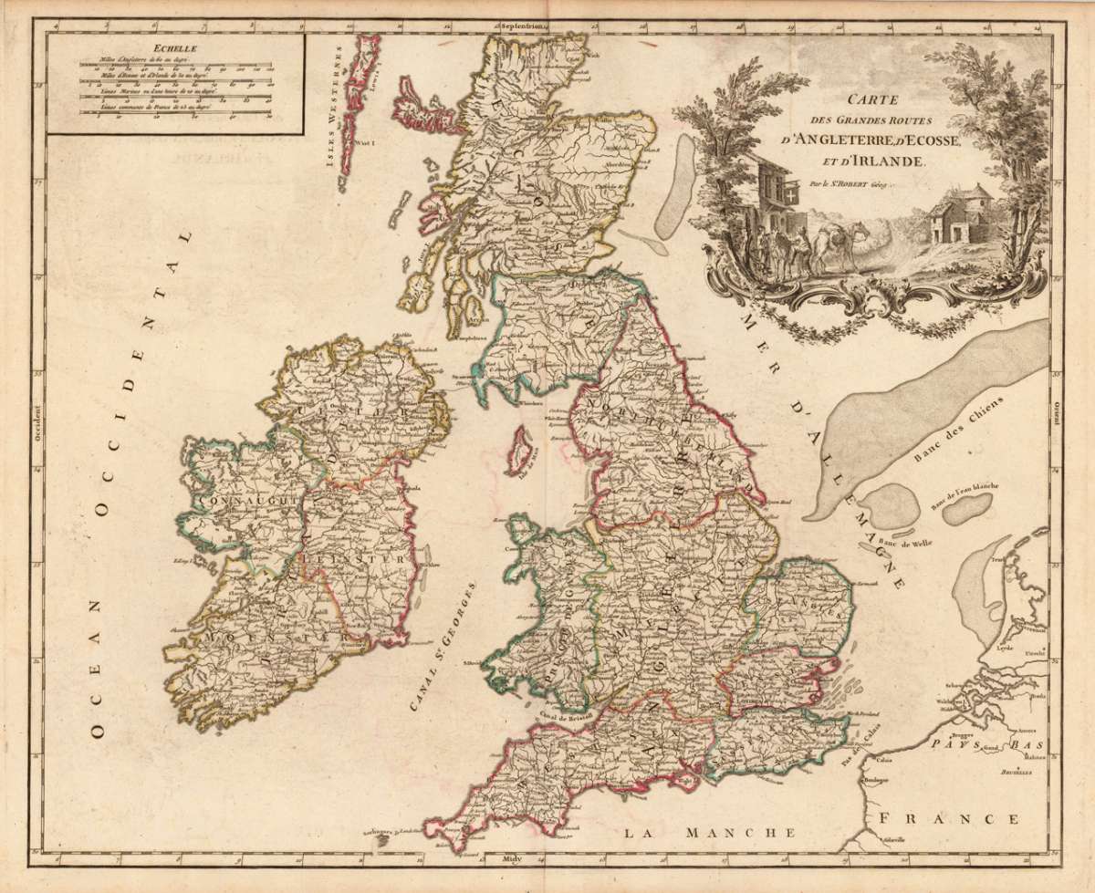
Carte des Grandes Routes d'Angleterre, d'Ecosse, et d'Irlande. Par le S.'Robert Géog.
Eigenschaften
- Published: Sr. Robert , Paris
- Published date: 1752
- Technique: Copper engraving / Original color.
- Type: Antique Map, map
- Category: British Isles
- Issue date: 1752/55.
- Size: 480 by 583mm (19 by 23 inches).
- Stock number: 17461
- Condition: In excellent condition. 480 by 583mm (19 by 23 inches).
Article description
Article description
Copper-engraving, handcolored in outline, when published. Detailed map by the French cartographer Sr. Robert de Vaugondy. The map shows detailled great routes through England, Scotland and Ireland. The map pretty much to date on the newest cartographic sources for this period around 1752-55. With many engraved place names of cities and villages, streets and routes, rivers and mountains are shown as well. Ornated with a large decorative allegoric title cartouche in the upper right corner (probably showing a post station).You might also be interested in the following products
 Li Regni D'...
 Copper engraving, in contemporary original color in outline. Published in Zatta's "Atlante Novissimo"....
€245.00
 Neueste Karte von...
 Steelengraving, handcolored in outline when published. Detailled map of Great Britain and Ireland with many...
€80.00
 General Carte von...
 Original antique copper engraving, hand colored in outline and wash, when published. Detailled map of the British...
€195.00
 Neueste Karte von...
 Steelengraving, handcolored in outline when published. Detailled map of Great Britain and Ireland with many...
€80.00
Recently viewed products