Scandinavia
No results were found for the filter!
 General Karte von dem Königreichen Schweden Daenemark u. Norwegen mit Grönland und den Inseln Istland und Foeröer....
 Original copper engraving, hand colored in wash and outline, when published. The Austrian cartographer Franz Joh....
€225.00
 Der Nord-Ost-Kanal. Zusammengestellt von C.J. Beseke.
 Lithograph, original color in outline and wash.
€60.00
 Regni Sueciae in omnes suas Subjacentes Provincias accuratè divisi Tabula Generalis edita a Joh. Bapt. Homanno...
 Original antique copper engraving, hand colored in outline and wash, when published. A fine and decorative antique...
€340.00
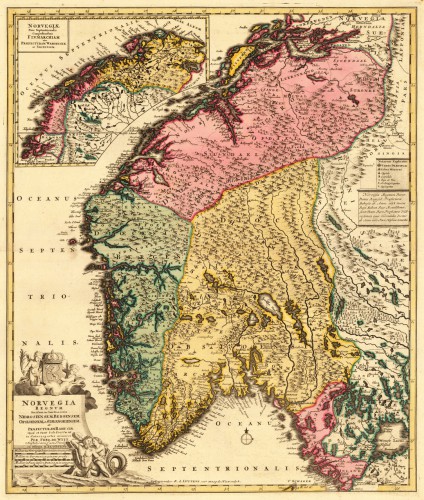
 Norvegia Regnum Divisum in suos Diocaeses Nidrosiensem, Bergensem, Opsloensem, et Stavangriensem. Et Praefecturam...
 Copper engraving, hand colored in wash.
€745.00
 Sueciae Magnae, Totius Orbis Regni Antiquissimi, Hodierna In Sex Principales Suas Partes, Gothiam Nempe, Sueciam...
 Copper engraving, hand colored in outline and wash when published. This fine map shows Norway, Sweden, Finland,...
€745.00
 Regni Sueciae in omnes suas Subjacentes Provincias accuratè divisi Tabula Generalis edita a Joh. Bapt. Homanno...
 Contemporary period handcolor in outline and wash.
€340.00
 Schweden und Norwegen entworfen und gezeichnet von C. F. Weiland. Weimar, im Verlage des Geograph. Instituts 1824.
 Copper engraving, hand colored in outline when published. The fine engraved map of Scandinavia with Sweden, Norway...
€325.00
 Der Kaiser Franz Josef Fjord und die Petermann Spitze im Innern von Grönland, entdeckt von der zweiten Deutschen...
 Lithograph, uncolored as published.
€60.00
 Die amerikanische Nordpolar-Expedition unter Kapitän C.F.Hall 1871/72. - Von A. Petermann.
 Lithograph, original color in wash.
€80.00
 Pascaert van Groen-Landt Yslandt, Straet Davidts Ian Mayen Eylandt Terra Nova, hoemen de selvige van Hitlandt en de...
 Original antique copper engraving, uncolored as published. Detailed chart of the Northeastern part of Canada,...
€1,750.00
 Norwegen. Stift A. Aggerhuus, B. Christiansand, C. Bergen, D. Drontheim.
 Lithograph, original hand color in outline.
€125.00
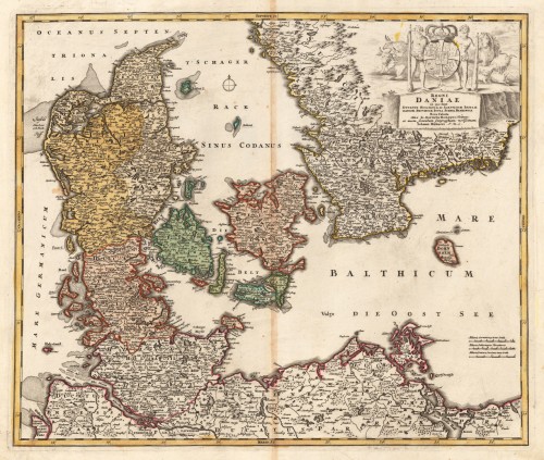
 REGNI DANIAE - in quo funt DUCATUS HOLSATIA ET SLESVICUM INSULAE DANICAE, PROINCIAE IUTIA SCANIA BLEKINGIA. Nova...
 Original antique copper engraving in contemporary hand color in wash and outline when published. A good impression of...
€297.00
Recently viewed products

