The following products have been found matching your search "maps of Russia": 136
Or did you mean: maps | map | world map | world maps | MAPS OF THE WORLD | map asia | wall map | Latin map
No results were found for the filter!
 Nova Totius Europae Tabula
 Original copper engraving, hand colored in outline and wash when published. Published circa 1710. Outstanding large...
€30,000.00
 Regnum Bosniae, una cum finitimis Croatiae, Dalmatiae, Slavoniae, Hung. et Serviae partibus, adjuncta praecipuorum in...
 Original copper engraing, hand colored when published. Decorative map of Bosnia and Serbia, probably international...
€480.00
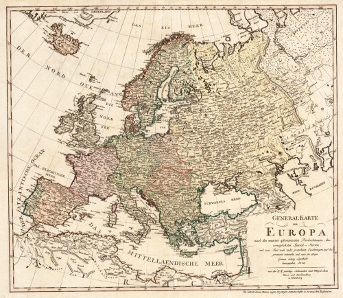
 Generalkarte von Europa, nach den neuesten astronomischen Beobachtungen, den vorzüglichsten Special-Karten und zu...
 Original antique copper engraving, hand colored in outline and wash when published. An interesting and detailed map...
€445.00
 Regni Sueciae in omnes suas Subjacentes Provincias accuratè divisi Tabula Generalis edita a Joh. Bapt. Homanno...
 Original antique copper engraving, hand colored in outline and wash, when published. A fine and decorative antique...
€340.00
 Exactissima totius Scandinaviae Tabula, qua tam Sueciae, Daniae, et Norvegiae Regna, in subjacentes eorum Ditiones...
 Copper engraving, hand colored in outline and wash. Nicolaes Visscher (25 January 1618, Amsterdam – buried 11...
€795.00
 Charte von Europa neu entworfen von F.L. Güssefeld. Nürnberg zu finden bey C. Weigel u. Schneider 1794.
 Copper engraving, hand colored in outline and wash when published. The map depicts Europe with its neighbouring...
€375.00
 Tresor Des Cartes Geographiques Des Principaux Estats De L Univers.
 Rare atlas by Jollain with engraved title and 38 engraved maps. This small atlas of 38 maps is known by several...
€7,500.00
 Der westliche Theil von Mittel-Asien oder Turan mit einem Theil der angaenzenden Laender. Entworfen und gezeichnet...
 Original antique copper engraving, hand colored in outline when published. A detailed and interesting map by the...
€145.00
 Imperii-Romano-Germanici in suos Status et Circulos divisi Tabula Generalis in Usus Inventutis erudiendae accomodata...
 Original copper engraving, hand colored in outline and wash when published. The map depicts the Holy Roman Empire...
€145.00
 Carte Générale et Politique de L' Asie Par E. Mentelle, Mambre de l'Institut Royal des Seiences et Professeur aux...
 Copper engraving, hand colored in outline. Engraved by J.B. Delaval. Map of Asia with Australia and New Zealand,...
€150.00
 Charte vom Nil Strome, Aegypten, Nubien und Habesch, oder den nord-östlichen Theil von Africa begreiffend; Nach...
 Copper engraving, hand colored in outline and wash when published. Shows Egypt, Sudan and Ethiopia with the Red Sea...
€125.00
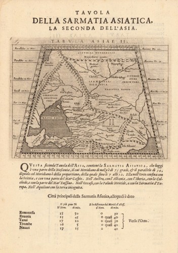
 Tabula Asiae II (Sarmatia Asiatica)
 Fine copper-engraved map, printed into the full text page, published in Geografia ... Universale de la Terra , which...
€145.00

