Anonymous
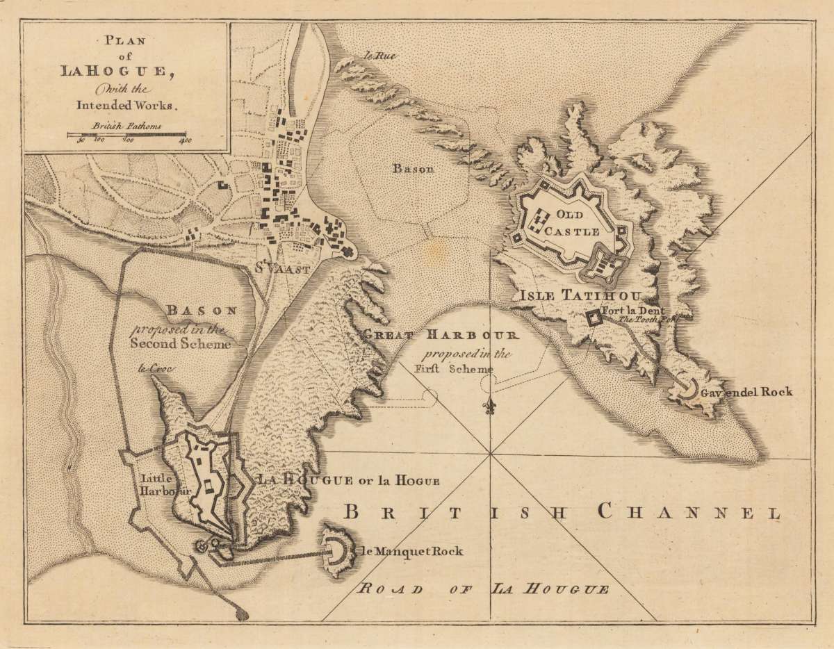
Plan of La Hogue, with the Intended Works.
Eigenschaften
- Published: London
- Published date: 1760
- Technique: Copper engraving / Uncolored
- Category: British Isles
- Issue date: 1760
- Type: Book
- Size: 18.5 x 24,4 cm (7.25 x 9,5 inches).
- Stock number: 24459
- Condition: In excellent condition.
Article description
Article description
Original antique copper engraving, uncolored. Original antique plan of La Hogue, with the Intended Works, published in,The Geographical Dictionary', containing a full and accurate account of the several parts of the known world, as it is divided into continents, islands, oceans, seas, rivers, lakes, etc. Bordered by the British Cannel.
You might also be interested in the following products
 Li Regni D'...
 Copper engraving, in contemporary original color in outline. Published in Zatta's "Atlante Novissimo"....
€245.00
 Neueste Karte von...
 Steelengraving, handcolored in outline when published. Detailled map of Great Britain and Ireland with many...
€80.00
 General Carte von...
 Original antique copper engraving, hand colored in outline and wash, when published. Detailled map of the British...
€195.00
 Carte des Grandes...
 Copper-engraving, handcolored in outline, when published. Detailed map by the French cartographer Sr. Robert de...
€350.00
Recently viewed products