The following products have been found matching your search "North Sea": 97
No results were found for the filter!
 North America
 Original lithograph, hand colored in outline, when published. Detailed fine map of North-America hand colored in...
€95.00
 North America Index Map to Canada and the United States
 Original antique steel engraving, hand colored in outline when published. This North America map shows the East...
€65.00
 Nord America mit West Indien.
 Steel engraving, hand colored in outline when published. Decorative doublepage handcolored engraved map, showing...
€245.00
 Topographica Repraesentatio Barbarici Portus et Urbis Munitae Oran una cum adjacente ora maritima, quae sita est in...
 Original antique copper engraving in contemporary hand color in wash and outline when published. This decorative...
€375.00
 Barbariae et Biledulgerid, Nova Descriptio.
 Original copper engraving, published 1608 in an Italian text edition of the 'Theatrum Orbis Terrarum'. A good and...
€350.00
 Northern Africa
 Steel engraving, hand colored in outline and wash. Fine engraved map is showing Northern Africa, the Mediterranean...
€95.00
 Originalkarte der Nord-Abessinischen Grenzlande - Bogos, Mensa, Marea, und der umliegenden Gebiete. - Hauptsächlich...
 Original lithograph, hand colored in outline and wash when published. Map of the regions to the North-Abessinian...
€75.00
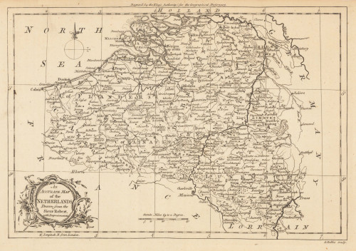
 An Accurate Map of the Netherlands Drawn from the Sieur Robert, with Improvements.
 Original antique copper engraving, uncolored. Original antique map of the Netherlands, published in,the Geographical...
€85.00
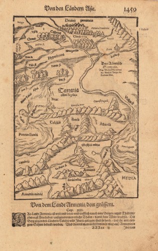
 Von den Ländern Asie. - Von dem Landt Armenia / dem grössern.
 Woodcut published 1628 in the Cosmographia by Sebastian Münster. Early woodcut map published in the 1628 edition...
€95.00
 Carte des Costes de Portugal et de Partie d`Espagne, de puis le Cap de Finisterre Jusques au Detroit de Gibraltar....
 Copper engraving, uncolored as published. A fine example of a strong impression of this large map. This issue is...
€1,200.00
 Barbariae et Guineae aritimi á Freto Gibraltar ad Fluvium Gambiae cum Insulis Salfis Flandricis et Canaricis L. Renard.
 Copper-engraving, hand colored in outline and wash when published. Large and decorative sea chart showing West...
€916.50
 Amér. Sep. Partie de la Nouvelle Hanovre. No. 51.
 Lithograph, original hand colored in outline. A detailed antique map of the Eastern sea board from Cape Code in the...
€220.00

