The following products have been found matching your search "iceland map": 260
No results were found for the filter!
 Pascaert van Groen-Landt Yslandt, Straet Davidts Ian Mayen Eylandt Terra Nova, hoemen de selvige van Hitlandt en de...
 Original antique copper engraving, uncolored as published. Detailed chart of the Northeastern part of Canada,...
€1,750.00
 Pascaerte van Groen-Landt, Yslandt, Straet Davids en Ian Mayen eylandt; hoemen de selvrige van Hilandt en de Noort...
 Rare seachart by Jacobsz Theunis of the North Atlantic, showing prominent Greenland, Iceland and parts of the North...
€1,450.00
 A Map of y Island of Bermudos. Divided into its Tribes, wth the Castles, Forts, &c. By H.M.
 Copper engraving, uncolored as published. The Geographer Hermann Moll worked came originally from the Netherlands...
€445.00
 Gray's New Map of Massachusetts, Rhode Island and Conneticut
 Lithograph, original color in outline and wash. Detailed map, colored by counties and showing townships, towns,...
€95.00
 Western Autralia containing the Settlements of Swan-River and King George´s Sound from recent Surveys sent to the...
 Steel engraving, hand colored in outline when published. This map shows West Australia.
€182.00
 Carolina By Hermann Moll Geographer Note that y Plantations are marked thus II. A Map of y Island of Bermudos....
 Copper engraving, uncolored as published. The Geographer Hermann Moll worked came originally from the Netherlands...
€545.00
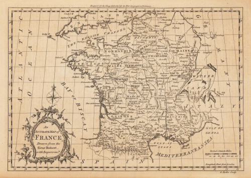
 An Accurate Map of France Drawn from the Sieur Robert, with Improvemts.
 Original antique copper engraving, uncolored. Published in London and engraved for the 'New Geographical...
€80.00
![Banka [lower left corner Antique Banka [lower left corner with inset map: Prefecture de Banka et Billiton]](https://bergbook.com/media/image/6d/f7/a3/32005_500x500.jpg) Banka [lower left corner with inset map: Prefecture de Banka et Billiton]
Banka [lower left corner with inset map: Prefecture de Banka et Billiton] Original manuscript map in colors. This antique manuscript map shows the island of Banka (Bangka, Bangka-Belitung)...
€1,100.00
 Pascaarte vande Norder Zee custen van America. Vande West-hoeck van Ysland doorde Straet Davis en Hudson, tot aen...
 Original antique copper engraving, uncolored as published. A highly detailed and decorative sea chart of Greenland...
€1,100.01
 Carte Particuliere de L´Amerique septentrionale, ou font Compris le Destroit de Davids le des Troit de Hudson,...
 Copper engraving, hand colored. This map was published ca.1704 in Pierre Mortier's famous sea-atlas 'Le Neptune...
€600.00
 Geographical, Historical, And Statistical Map of Mexico
 Original copper engraving, printed and published in Carey and Lea's "A Complete Historical, Chronological,...
€1,200.00
 Carte Particuliere de L´Amerique septentrionale, ou font Compris le Destroit de Davids le des Troit de Hudson,...
 Copper engraving, uncolored as published. This map was published ca.1704 in Pierre Mortier's famous sea-atlas 'Le...
€950.00

